Ōfunato night lights from space
Night Light of Ōfunato (Iwate) from space (Japan) Src. Average luminocity for 10x10km area is 13.9627% and for 50x50km: 2.1239%.
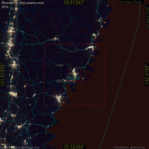
Analysis of Ōfunato night lights 2016
Square area 10x10 km:
 0.49%
0.49%90-99
2.11%80-89
1.3%70-79
0.81%60-69
6.33%50-59
0.97%40-49
2.27%30-39
0.97%20-29
2.27%10-19
1.95%0-9
80.52%Square area 50x50 km:
0.16%90-99
0.37%80-89
0.16%70-79
0.17%60-69
0.5%50-59
0.26%40-49
0.31%30-39
0.28%20-29
0.46%10-19
0.5%0-9
96.83%Clear (daylight) street map image can be seen on geolist.org.
Map coordinates:
39° 36' 55.5" North, 141° 0' 48.8" East
39° 4' 18" North, 141° 43' 0" East
38° 31' 25.2" North, 142° 25' 11.3" East
Some cities around Ōfunato sort by population:
• Kitakami
56.8 km =35.3 mi,  294°
294°
• Hanamaki
62.2 km =38.6 mi,  303°
303°
• Ichinoseki
53.3 km =33.1 mi,  251°
251°
• Mizusawa
50.8 km =31.6 mi,  277°
277°
• Kamaishi
26.3 km =16.3 mi,  29°
29°
• Tōno
31.5 km =19.6 mi,  329°
329°
• Yamada
48.3 km =30 mi,  24°
24°
• Ōtsuchi
36.4 km =22.6 mi, 25°
2111530 (p: 35,418)
Sources (retrieved 2019-11-25):
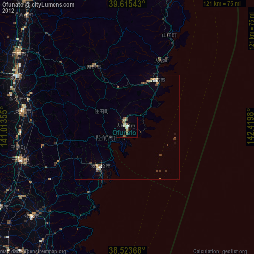
» Earth at Night: Flat Maps 2012, 2016