Ibusuki night lights from space
Night Light of Ibusuki (Kagoshima) from space (Japan) Src. Average luminocity for 10x10km area is 11.6996% and for 50x50km: 2.3598%.
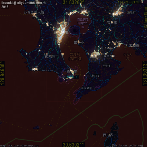
Analysis of Ibusuki night lights 2016
Square area 10x10 km:
 0%
0%90-99
0.73%80-89
2.2%70-79
3.3%60-69
1.65%50-59
4.58%40-49
0.73%30-39
0.92%20-29
1.28%10-19
0%0-9
84.62%Square area 50x50 km:
0.04%90-99
0.36%80-89
0.44%70-79
0.36%60-69
0.31%50-59
0.44%40-49
0.23%30-39
0.26%20-29
0.39%10-19
1.63%0-9
95.54%Clear (daylight) street map image can be seen on geolist.org.
Map coordinates:
31° 49' 57.5" North, 129° 56' 48.8" East
31° 13' 60" North, 130° 39' 0" East
30° 37' 48.8" North, 131° 21' 11.3" East
Some cities around Ibusuki sort by population:
• Kagoshima
38.3 km =23.8 mi,  345°
345°
• Kanoya
25.3 km =15.7 mi,  48°
48°
• Hamanoichi
54.3 km =33.7 mi,  8°
8°
• Ijūin
48.8 km =30.3 mi,  330°
330°
• Makurazaki
31.9 km =19.8 mi,  276°
276°
• Kaseda-shirakame
37.7 km =23.4 mi,  302°
302°
• Tarumizu
28.2 km =17.5 mi, 9°
• Shibushi
50.6 km =31.4 mi,  57°
57°
1862010 (p: 29,710)
Sources (retrieved 2019-11-25):
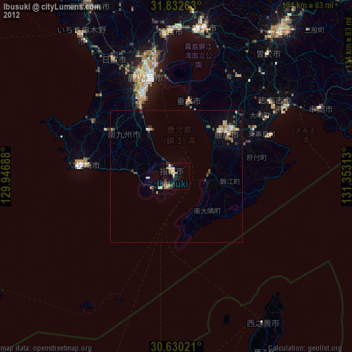
» Earth at Night: Flat Maps 2012, 2016