Hamanoichi night lights from space
Night Light of Hamanoichi (Kagoshima) from space (Japan) Src. Average luminocity for 10x10km area is 19.8626% and for 50x50km: 7.0355%.
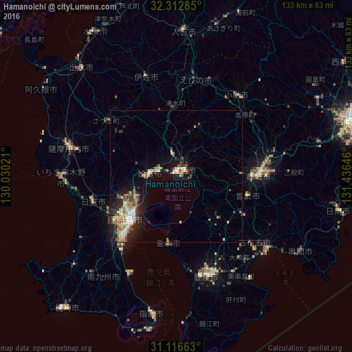
Analysis of Hamanoichi night lights 2016
Square area 10x10 km:
 0.92%
0.92%90-99
2.75%80-89
2.75%70-79
1.1%60-69
5.13%50-59
4.21%40-49
4.4%30-39
1.83%20-29
1.47%10-19
14.84%0-9
60.62%Square area 50x50 km:
0.69%90-99
1.05%80-89
1.05%70-79
0.81%60-69
1.23%50-59
1.21%40-49
0.81%30-39
0.69%20-29
2.1%10-19
3.98%0-9
86.38%Clear (daylight) street map image can be seen on geolist.org.
Map coordinates:
32° 18' 46.3" North, 130° 1' 48.8" East
31° 43' 0" North, 130° 43' 60" East
31° 6' 59.9" North, 131° 26' 11.3" East
Some cities around Hamanoichi sort by population:
• Kagoshima
24.1 km =15 mi,  226°
226°
• Miyakonojō
31.6 km =19.6 mi,  86°
86°
• Kokubu-matsuki
3.7 km =2.3 mi,  59°
59°
• Kobayashi
37.9 km =23.5 mi,  38°
38°
• Ijūin
33.4 km =20.8 mi,  250°
250°
• Kajiki
6.6 km =4.1 mi,  286°
286°
• Sueyoshichō-ninokata
27.8 km =17.3 mi,  105°
105°
• Tarumizu
26.1 km =16.2 mi,  186°
186°
1863279 (p: 39,475)
Sources (retrieved 2019-11-25):
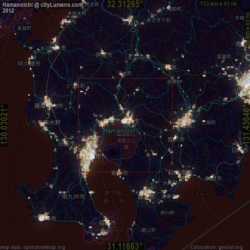
» Earth at Night: Flat Maps 2012, 2016