Tarumizu night lights from space
Night Light of Tarumizu (Kagoshima) from space (Japan) Src. Average luminocity for 10x10km area is 2.5612% and for 50x50km: 7.626%.
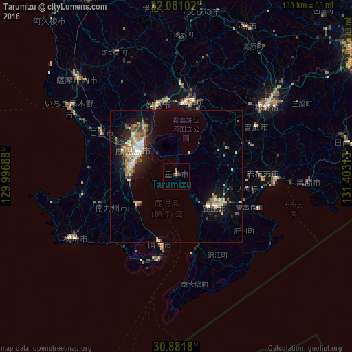
Analysis of Tarumizu night lights 2016
Square area 10x10 km:
 0%
0%90-99
0%80-89
0%70-79
0%60-69
2.1%50-59
0%40-49
0%30-39
0.87%20-29
1.92%10-19
0.35%0-9
94.76%Square area 50x50 km:
0.68%90-99
1.26%80-89
1.21%70-79
0.84%60-69
1.18%50-59
1.07%40-49
0.79%30-39
0.76%20-29
2.2%10-19
5.47%0-9
84.52%Clear (daylight) street map image can be seen on geolist.org.
Map coordinates:
32° 4' 51.7" North, 129° 59' 48.8" East
31° 28' 60" North, 130° 42' 0" East
30° 52' 54.5" North, 131° 24' 11.3" East
Some cities around Tarumizu sort by population:
• Kagoshima
17 km =10.6 mi,  303°
303°
• Kanoya
18.1 km =11.2 mi,  128°
128°
• Kokubu-matsuki
28.5 km =17.7 mi,  12°
12°
• Hamanoichi
26.1 km =16.2 mi, 6°
• Ibusuki
28.2 km =17.5 mi,  189°
189°
• Ijūin
32.1 km =19.9 mi, 297°
• Kajiki
28 km =17.4 mi,  353°
353°
• Sueyoshichō-ninokata
35.3 km =21.9 mi,  58°
58°
1850589 (p: 19,146)
Sources (retrieved 2019-11-25):
» Earth at Night: Flat Maps 2012, 2016