Ijūin night lights from space
Night Light of Ijūin (Kagoshima) from space (Japan) Src. Average luminocity for 10x10km area is 4.7308% and for 50x50km: 7.1621%.
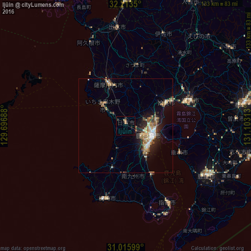
Analysis of Ijūin night lights 2016
Square area 10x10 km:
 0%
0%90-99
0.37%80-89
0.37%70-79
0.55%60-69
1.65%50-59
0%40-49
0.73%30-39
1.28%20-29
1.65%10-19
1.65%0-9
91.76%Square area 50x50 km:
0.71%90-99
1.07%80-89
0.94%70-79
0.99%60-69
1.19%50-59
1.18%40-49
0.89%30-39
0.77%20-29
2.14%10-19
4.01%0-9
86.1%Clear (daylight) street map image can be seen on geolist.org.
Map coordinates:
32° 12' 48.6" North, 129° 41' 48.8" East
31° 37' 0" North, 130° 24' 0" East
31° 0' 57.6" North, 131° 6' 11.3" East
Some cities around Ijūin sort by population:
• Kagoshima
15.3 km =9.5 mi,  111°
111°
• Satsumasendai
24.2 km =15 mi,  336°
336°
• Kokubu-matsuki
37 km =23 mi,  69°
69°
• Hamanoichi
33.4 km =20.8 mi, 70°
• Kushikino
16.8 km =10.4 mi,  311°
311°
• Kaseda-shirakame
23.6 km =14.7 mi,  199°
199°
• Kajiki
28.4 km =17.6 mi,  62°
62°
• Tarumizu
32.1 km =19.9 mi,  117°
117°
1861825 (p: 25,217)
Sources (retrieved 2019-11-25):
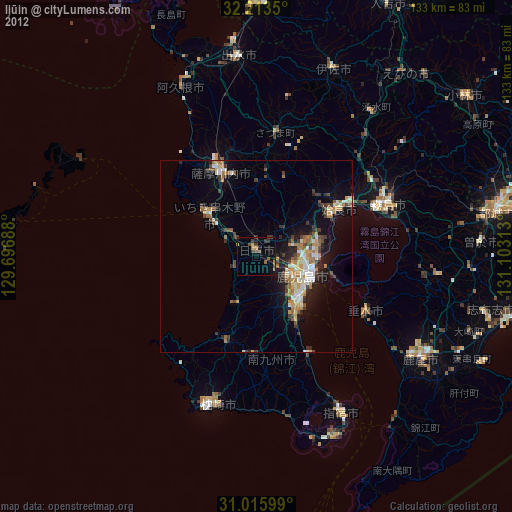
» Earth at Night: Flat Maps 2012, 2016