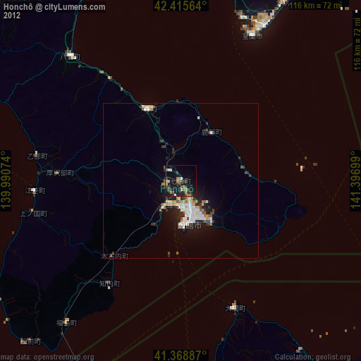
Honchō night lights from space
Night Light of Honchō (Hokkaido) from space (Japan) Src. Average luminocity for 10x10km area is 27.4222% and for 50x50km: 6.0001%.
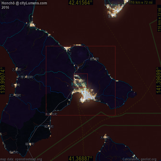
Analysis of Honchō night lights 2016
Square area 10x10 km:
 0.48%
0.48%90-99
1.27%80-89
4.13%70-79
3.02%60-69
6.03%50-59
7.46%40-49
4.6%30-39
6.03%20-29
13.17%10-19
26.03%0-9
27.78%Square area 50x50 km:
0.77%90-99
1.21%80-89
0.7%70-79
0.65%60-69
0.6%50-59
0.7%40-49
0.88%30-39
1.04%20-29
2.13%10-19
3.74%0-9
87.6%Clear (daylight) street map image can be seen on geolist.org.
Map coordinates:
42° 24' 56.3" North, 139° 59' 26.7" East
41° 53' 39.8" North, 140° 41' 37.9" East
41° 22' 7.9" North, 141° 23' 49.2" East
Some cities around Honchō sort by population:
• Aomori
119.9 km =74.5 mi,  178°
178°
• Hakodate
13.7 km =8.5 mi,  164°
164°
• Tomakomai
111.4 km =69.2 mi,  42°
42°
• Muroran
52.9 km =32.9 mi,  27°
27°
• Mutsu
80.1 km =49.8 mi,  147°
147°
• Kamiiso
9.2 km =5.7 mi,  206°
206°
• Date
65.4 km =40.6 mi,  12°
12°
• Shiraoi
90.7 km =56.4 mi, 36°
2129003 (p: 30,008)
Sources (retrieved 2019-11-25):
» Earth at Night: Flat Maps 2012, 2016