Mutsu night lights from space
Night Light of Mutsu (Aomori) from space (Japan) Src. Average luminocity for 10x10km area is 12.3523% and for 50x50km: 0.9466%.
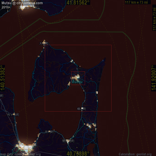
Analysis of Mutsu night lights 2016
Square area 10x10 km:
 0.32%
0.32%90-99
0.81%80-89
1.14%70-79
2.44%60-69
2.76%50-59
4.22%40-49
2.11%30-39
0.81%20-29
1.95%10-19
0.65%0-9
82.79%Square area 50x50 km:
0.05%90-99
0.1%80-89
0.1%70-79
0.16%60-69
0.15%50-59
0.21%40-49
0.12%30-39
0.24%20-29
0.17%10-19
0.14%0-9
98.56%Clear (daylight) street map image can be seen on geolist.org.
Map coordinates:
41° 48' 56.2" North, 140° 30' 49.8" East
41° 17' 22" North, 141° 13' 1" East
40° 45' 32.3" North, 141° 55' 12.3" East
Some cities around Mutsu sort by population:
• Aomori
66.4 km =41.3 mi,  217°
217°
• Hakodate
67.3 km =41.8 mi,  323°
323°
• Goshogawara
84.5 km =52.5 mi,  230°
230°
• Misawa
68.6 km =42.6 mi,  167°
167°
• Kamiiso
75.8 km =47.1 mi, 321°
• Honchō
80.1 km =49.8 mi,  327°
327°
• Namioka
83.1 km =51.6 mi, 219°
• Shimokizukuri
88 km =54.7 mi, 233°
2127878 (p: 49,220)
Sources (retrieved 2019-11-25):
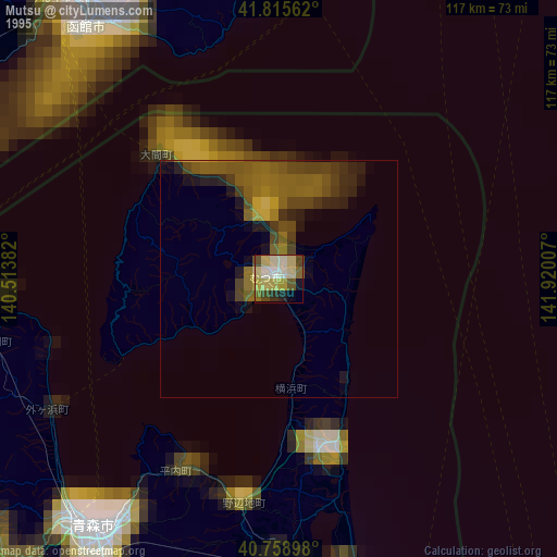
» NASA, Earths city lights 1995
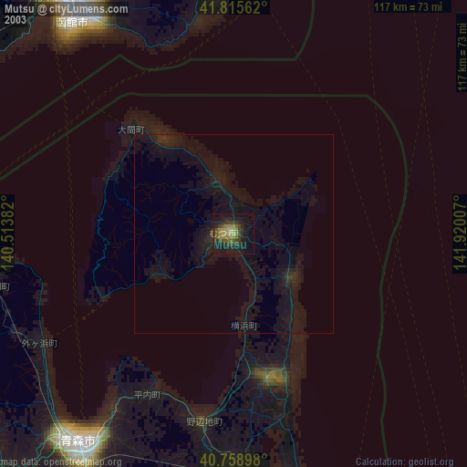
» NASA city lights 2003
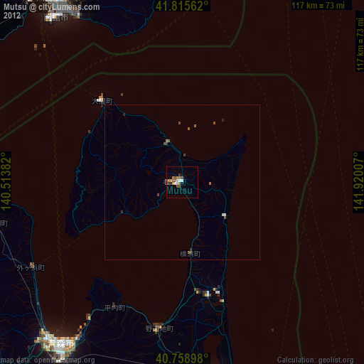
» Earth at Night: Flat Maps 2012, 2016