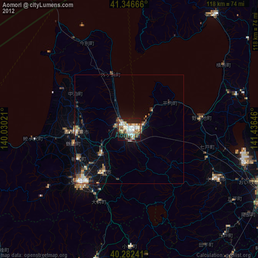
Aomori night lights from space
Night Light of Aomori from space (Japan) Src. Average luminocity for 10x10km area is 58.6088% and for 50x50km: 6.6853%.
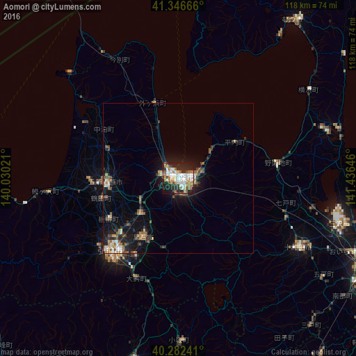
Analysis of Aomori night lights 2016
Square area 10x10 km:
 13.95%
90-99
16.16%80-89
5.61%70-79
5.61%60-69
9.18%50-59
5.44%40-49
4.59%30-39
4.93%20-29
24.32%10-19
10.2%0-9
0%Square area 50x50 km:
0.83%90-99
1.12%80-89
0.51%70-79
0.57%60-69
1.15%50-59
1.08%40-49
0.91%30-39
0.8%20-29
2.25%10-19
5.17%0-9
85.61%Clear (daylight) street map image can be seen on geolist.org.
Map coordinates:
41° 20' 48" North, 140° 1' 48.8" East
40° 49' 0" North, 140° 43' 60" East
40° 16' 56.7" North, 141° 26' 11.3" East
Some cities around Aomori sort by population:
• Hirosaki
33.2 km =20.6 mi,  221°
221°
• Ōdate
62.4 km =38.8 mi,  193°
193°
• Mutsu
66.4 km =41.3 mi,  37°
37°
• Goshogawara
24.6 km =15.3 mi,  266°
266°
• Misawa
57.1 km =35.5 mi,  104°
104°
• Kuroishi
22.8 km =14.2 mi,  213°
213°
• Namioka
16.8 km =10.4 mi,  225°
225°
• Shimokizukuri
30.1 km =18.7 mi, 269°
2130658 (p: 298,394)
Sources (retrieved 2019-11-25):
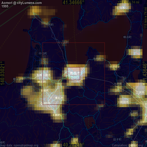
» NASA, Earths city lights 1995
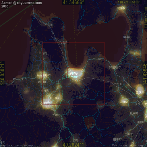
» NASA city lights 2003
» Earth at Night: Flat Maps 2012, 2016