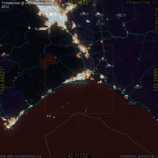
Tomakomai night lights from space
Night Light of Tomakomai (Hokkaido) from space (Japan) Src. Average luminocity for 10x10km area is 47.2364% and for 50x50km: 8.4017%.

Analysis of Tomakomai night lights 2016
Square area 10x10 km:
 9.7%
9.7%90-99
14.24%80-89
5.3%70-79
7.12%60-69
3.33%50-59
1.97%40-49
1.21%30-39
2.88%20-29
19.24%10-19
31.52%0-9
3.48%Square area 50x50 km:
0.78%90-99
1.4%80-89
1.04%70-79
1.23%60-69
1.08%50-59
0.93%40-49
1.2%30-39
0.97%20-29
2.78%10-19
7.01%0-9
81.57%Clear (daylight) street map image can be seen on geolist.org.
Map coordinates:
43° 9' 7.4" North, 140° 54' 0.8" East
42° 38' 13" North, 141° 36' 12" East
42° 7' 3.1" North, 142° 18' 23.3" East
Some cities around Tomakomai sort by population:
• Sapporo
52.1 km =32.4 mi,  336°
336°
• Ebetsu
52.6 km =32.7 mi,  355°
355°
• Muroran
61.7 km =38.3 mi,  234°
234°
• Chitose
20.7 km =12.9 mi,  11°
11°
• Iwamizawa
63.9 km =39.7 mi, 11°
• Kitahiroshima
37.8 km =23.5 mi, 355°
• Date
63.1 km =39.2 mi,  252°
252°
• Shiraoi
22.9 km =14.2 mi, 245°
2127733 (p: 174,806)
Sources (retrieved 2019-11-25):
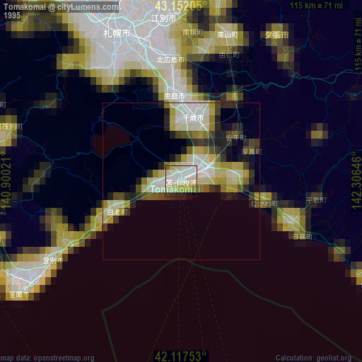
» NASA, Earths city lights 1995
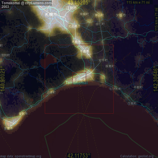
» NASA city lights 2003
» Earth at Night: Flat Maps 2012, 2016