Hiroshima night lights from space
Night Light of Hiroshima from space (Japan) Src. Average luminocity for 10x10km area is 86.3304% and for 50x50km: 18.0306%.
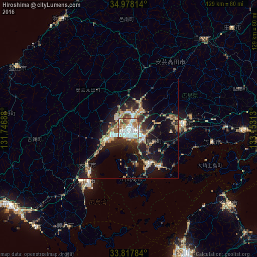
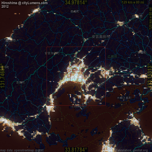
Analysis of Hiroshima night lights 2016
Square area 10x10 km:
 34.44%
90-99
26.22%80-89
9.27%70-79
7.69%60-69
12.94%50-59
3.67%40-49
3.67%30-39
2.1%20-29
0%10-19
0%0-9
0%Square area 50x50 km:
2.46%90-99
2.81%80-89
2.5%70-79
1.96%60-69
2.73%50-59
2.82%40-49
1.78%30-39
2.54%20-29
5.41%10-19
13%0-9
61.99%Clear (daylight) street map image can be seen on geolist.org.
Map coordinates:
34° 58' 41.3" North, 131° 44' 48.8" East
34° 24' 0" North, 132° 27' 0" East
33° 49' 4.2" North, 133° 9' 11.3" East
Some cities around Hiroshima sort by population:
• Kure
21.5 km =13.4 mi,  150°
150°
• Iwakuni
33.8 km =21 mi,  218°
218°
• Hatsukaichi
12.1 km =7.5 mi,  242°
242°
• Yanai
57.1 km =35.5 mi,  212°
212°
• Takehara
43.4 km =27 mi,  99°
99°
• Ōtake
30 km =18.6 mi, 224°
• Hōjō
55.9 km =34.7 mi, 147°
• Ōno-hara
21.3 km =13.2 mi,  232°
232°
1862415 (p: 1,143,841)
Sources (retrieved 2019-11-25):
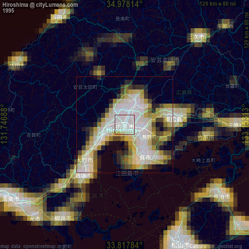
» NASA, Earths city lights 1995
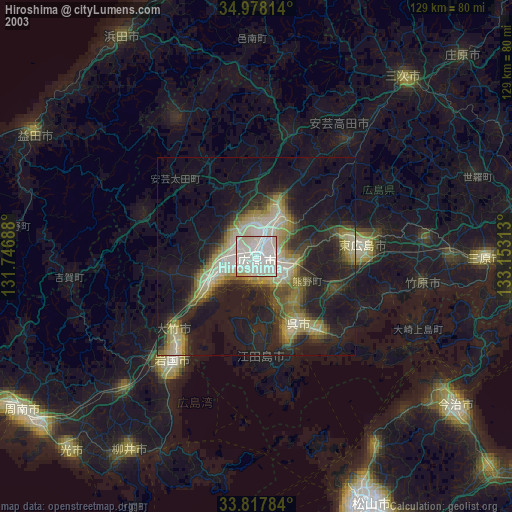
» NASA city lights 2003
» Earth at Night: Flat Maps 2012, 2016