Hōjō night lights from space
Night Light of Hōjō (Ehime) from space (Japan) Src. Average luminocity for 10x10km area is 5.8811% and for 50x50km: 7.0841%.
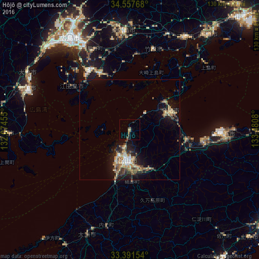
Analysis of Hōjō night lights 2016
Square area 10x10 km:
 0%
0%90-99
0%80-89
0.7%70-79
0.87%60-69
1.22%50-59
1.22%40-49
2.27%30-39
0.87%20-29
1.92%10-19
0%0-9
90.91%Square area 50x50 km:
0.48%90-99
0.77%80-89
1.33%70-79
0.71%60-69
1.2%50-59
1.12%40-49
1.31%30-39
1.28%20-29
1.87%10-19
5.02%0-9
84.91%Clear (daylight) street map image can be seen on geolist.org.
Map coordinates:
34° 33' 27.6" North, 132° 4' 28.4" East
33° 58' 35.8" North, 132° 46' 39.6" East
33° 23' 29.5" North, 133° 28' 50.9" East
Some cities around Hōjō sort by population:
• Matsuyama
15.3 km =9.5 mi,  184°
184°
• Kure
34.4 km =21.4 mi,  325°
325°
• Niihama
48.7 km =30.3 mi,  92°
92°
• Saijō
38 km =23.6 mi,  100°
100°
• Iyo
26 km =16.2 mi,  195°
195°
• Masaki-chō
21.9 km =13.6 mi, 196°
• Takehara
42.2 km =26.2 mi,  17°
17°
• Innoshima
50.6 km =31.4 mi,  47°
47°
1926142 (p: 27,992)
Sources (retrieved 2019-11-25):
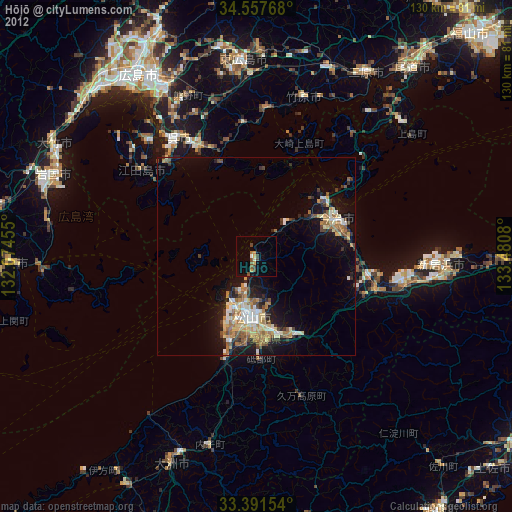
» Earth at Night: Flat Maps 2012, 2016