Yanai night lights from space
Night Light of Yanai (Yamaguchi) from space (Japan) Src. Average luminocity for 10x10km area is 8.1783% and for 50x50km: 4.3283%.
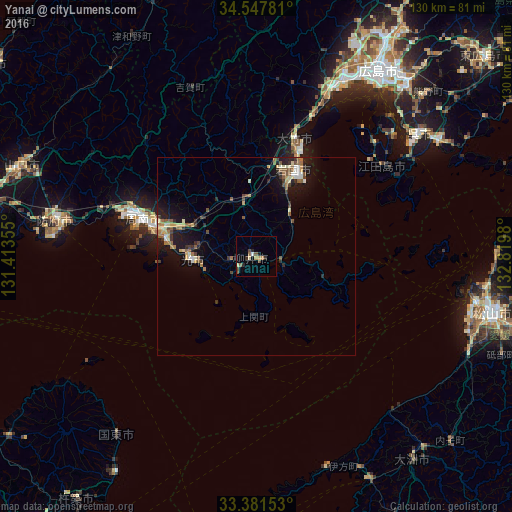
Analysis of Yanai night lights 2016
Square area 10x10 km:
 0.7%
0.7%90-99
0.17%80-89
1.57%70-79
1.05%60-69
0.7%50-59
2.62%40-49
2.27%30-39
0.35%20-29
2.45%10-19
0.7%0-9
87.41%Square area 50x50 km:
0.23%90-99
0.51%80-89
0.63%70-79
0.48%60-69
0.68%50-59
1.04%40-49
0.59%30-39
0.5%20-29
1.04%10-19
3.83%0-9
90.48%Clear (daylight) street map image can be seen on geolist.org.
Map coordinates:
34° 32' 52.1" North, 131° 24' 48.8" East
33° 58' 0" North, 132° 7' 0" East
33° 22' 53.5" North, 132° 49' 11.3" East
Some cities around Yanai sort by population:
• Kure
50.9 km =31.6 mi,  54°
54°
• Iwakuni
23.8 km =14.8 mi,  23°
23°
• Tokuyama
29.2 km =18.1 mi,  288°
288°
• Hatsukaichi
47.1 km =29.3 mi,  25°
25°
• Kudamatsu
23.3 km =14.5 mi,  279°
279°
• Hikari
15.4 km =9.6 mi,  265°
265°
• Ōtake
28.4 km =17.6 mi, 19°
• Ōno-hara
37.8 km =23.5 mi, 21°
1848550 (p: 32,229)
Sources (retrieved 2019-11-25):
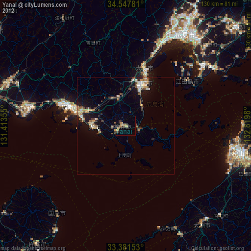
» Earth at Night: Flat Maps 2012, 2016