Ōtake night lights from space
Night Light of Ōtake (Hiroshima) from space (Japan) Src. Average luminocity for 10x10km area is 30.9066% and for 50x50km: 9.3586%.
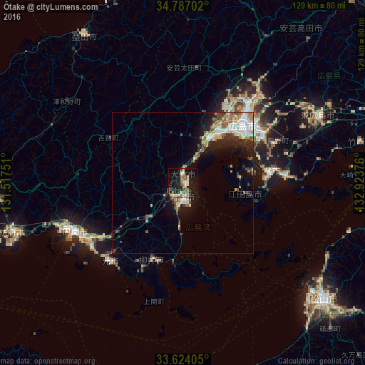
Analysis of Ōtake night lights 2016
Square area 10x10 km:
 2.56%
2.56%90-99
6.04%80-89
4.4%70-79
2.75%60-69
4.21%50-59
6.78%40-49
2.2%30-39
2.01%20-29
9.52%10-19
37.55%0-9
21.98%Square area 50x50 km:
1.6%90-99
1.77%80-89
1.04%70-79
0.91%60-69
1.29%50-59
1.56%40-49
0.85%30-39
1.09%20-29
2.34%10-19
5.53%0-9
82.03%Clear (daylight) street map image can be seen on geolist.org.
Map coordinates:
34° 47' 13.3" North, 131° 31' 3" East
34° 12' 27.1" North, 132° 13' 14.3" East
33° 37' 26.6" North, 132° 55' 25.5" East
Some cities around Ōtake sort by population:
• Hiroshima
30 km =18.6 mi,  44°
44°
• Kure
31.9 km =19.8 mi,  85°
85°
• Iwakuni
5 km =3.1 mi,  180°
180°
• Hatsukaichi
18.9 km =11.7 mi,  33°
33°
• Kudamatsu
39.9 km =24.8 mi,  234°
234°
• Hikari
37.5 km =23.3 mi,  221°
221°
• Yanai
28.4 km =17.6 mi,  199°
199°
• Ōno-hara
9.4 km =5.8 mi, 26°
1853662 (p: 30,151)
Sources (retrieved 2019-11-25):
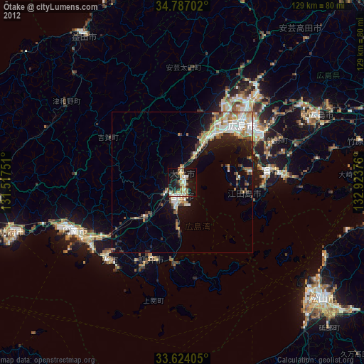
» Earth at Night: Flat Maps 2012, 2016