Miyoshi night lights from space
Night Light of Miyoshi (Hiroshima) from space (Japan) Src. Average luminocity for 10x10km area is 7.5861% and for 50x50km: 0.6575%.
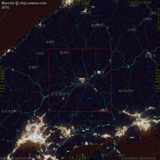
Analysis of Miyoshi night lights 2016
Square area 10x10 km:
 0%
0%90-99
0%80-89
0.73%70-79
0.18%60-69
1.1%50-59
3.66%40-49
4.21%30-39
1.28%20-29
2.01%10-19
1.47%0-9
85.35%Square area 50x50 km:
0%90-99
0%80-89
0.06%70-79
0.01%60-69
0.18%50-59
0.21%40-49
0.35%30-39
0.08%20-29
0.27%10-19
0.13%0-9
98.71%Clear (daylight) street map image can be seen on geolist.org.
Map coordinates:
35° 22' 31.2" North, 132° 8' 48.8" East
34° 48' 0" North, 132° 51' 0" East
34° 13' 14.2" North, 133° 33' 11.3" East
Some cities around Miyoshi sort by population:
• Hiroshima
57.6 km =35.8 mi,  219°
219°
• Onomichi
53.3 km =33.1 mi,  143°
143°
• Mihara
49.3 km =30.6 mi,  154°
154°
• Fuchūchō
43.3 km =26.9 mi,  125°
125°
• Ōdachō-ōda
53.4 km =33.2 mi,  324°
324°
• Takehara
51.7 km =32.1 mi,  173°
173°
• Shin’ichi
47.3 km =29.4 mi, 125°
• Shōbara
16.2 km =10.1 mi,  69°
69°
1856698 (p: 39,257)
Sources (retrieved 2019-11-25):
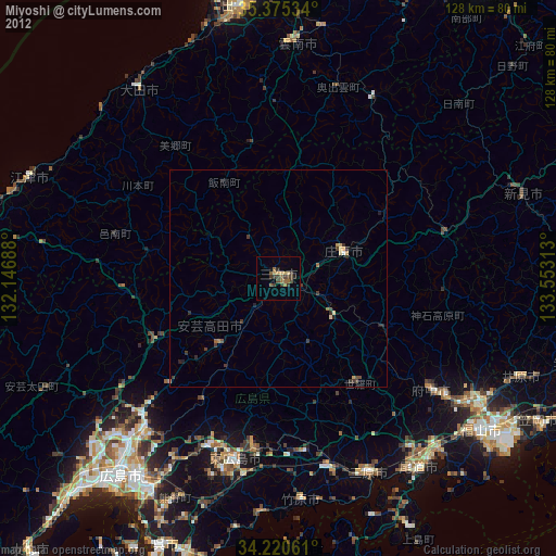
» Earth at Night: Flat Maps 2012, 2016