Hamada night lights from space
Night Light of Hamada (Shimane) from space (Japan) Src. Average luminocity for 10x10km area is 10.9853% and for 50x50km: 1.2729%.
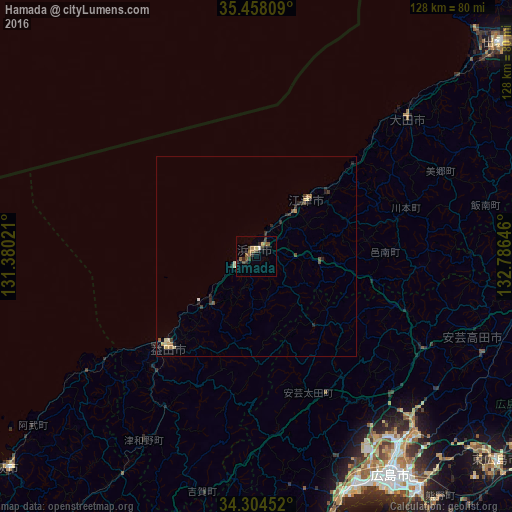
Analysis of Hamada night lights 2016
Square area 10x10 km:
 0.18%
0.18%90-99
0.55%80-89
0.92%70-79
1.47%60-69
1.47%50-59
4.4%40-49
2.01%30-39
3.11%20-29
3.11%10-19
0.73%0-9
82.05%Square area 50x50 km:
0.03%90-99
0.06%80-89
0.23%70-79
0.19%60-69
0.18%50-59
0.27%40-49
0.21%30-39
0.34%20-29
0.51%10-19
0.18%0-9
97.81%Clear (daylight) street map image can be seen on geolist.org.
Map coordinates:
35° 27' 29.1" North, 131° 22' 48.8" East
34° 52' 60" North, 132° 4' 60" East
34° 18' 16.3" North, 132° 47' 11.3" East
Some cities around Hamada sort by population:
• Hiroshima
63.3 km =39.3 mi,  148°
148°
• Hatsukaichi
63.6 km =39.5 mi,  158°
158°
• Masuda
32.2 km =20 mi,  221°
221°
• Miyoshi
70.6 km =43.9 mi,  97°
97°
• Ōdachō-ōda
51.6 km =32.1 mi,  48°
48°
• Ōtake
76.2 km =47.3 mi,  170°
170°
• Ōno-hara
68.8 km =42.8 mi, 165°
• Gōtsuchō
19 km =11.8 mi,  42°
42°
1863310 (p: 45,750)
Sources (retrieved 2019-11-25):
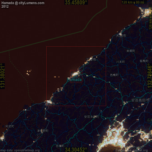
» Earth at Night: Flat Maps 2012, 2016