Masuda night lights from space
Night Light of Masuda (Shimane) from space (Japan) Src. Average luminocity for 10x10km area is 8.6853% and for 50x50km: 0.7311%.
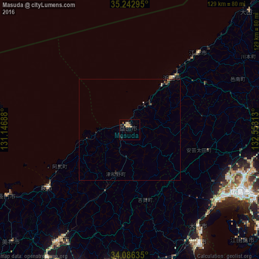
Analysis of Masuda night lights 2016
Square area 10x10 km:
 0%
0%90-99
0.35%80-89
2.8%70-79
2.45%60-69
1.4%50-59
0.7%40-49
0%30-39
1.05%20-29
2.27%10-19
3.15%0-9
85.84%Square area 50x50 km:
0.02%90-99
0.04%80-89
0.15%70-79
0.1%60-69
0.06%50-59
0.15%40-49
0.08%30-39
0.16%20-29
0.36%10-19
0.15%0-9
98.73%Clear (daylight) street map image can be seen on geolist.org.
Map coordinates:
35° 14' 34.6" North, 131° 8' 48.8" East
34° 40' 0" North, 131° 51' 0" East
34° 5' 10.9" North, 132° 33' 11.3" East
Some cities around Masuda sort by population:
• Hiroshima
62.4 km =38.8 mi,  118°
118°
• Yamaguchi
64.2 km =39.9 mi,  213°
213°
• Hatsukaichi
56.6 km =35.2 mi,  128°
128°
• Hamada
32.2 km =20 mi,  41°
41°
• Hagi
49.5 km =30.8 mi,  233°
233°
• Ōtake
61.3 km =38.1 mi,  146°
146°
• Ōno-hara
57.2 km =35.5 mi,  138°
138°
• Gōtsuchō
51.2 km =31.8 mi, 42°
1857594 (p: 48,576)
Sources (retrieved 2019-11-25):
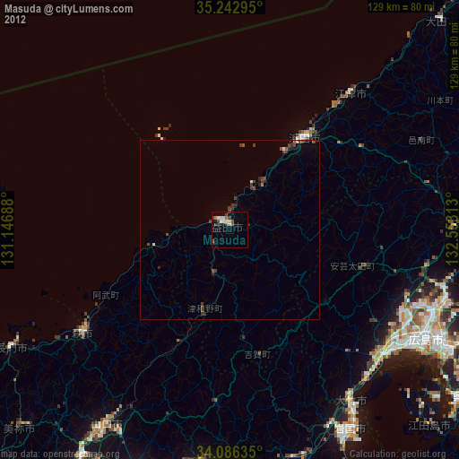
» Earth at Night: Flat Maps 2012, 2016