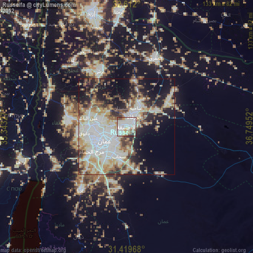
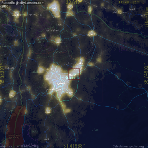
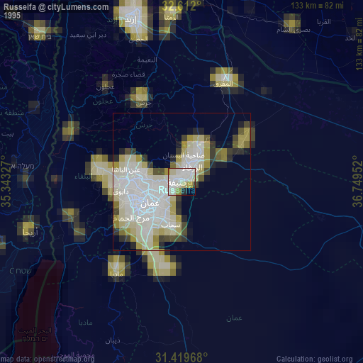
Russeifa night lights from space
Night Light of Russeifa (Zarqa) from space (Jordan) Src. Average luminocity for 10x10km area is 84.7587% and for 50x50km: 52.3827%.

Analysis of Russeifa night lights 2016
Square area 10x10 km:
 26.57%
90-99
26.92%80-89
17.48%70-79
9.97%60-69
6.29%50-59
5.42%40-49
4.37%30-39
2.45%20-29
0.52%10-19
0%0-9
0%Square area 50x50 km:
11.7%90-99
9.87%80-89
11.07%70-79
9.06%60-69
4.89%50-59
5.43%40-49
7.09%30-39
5.89%20-29
8.38%10-19
9.02%0-9
17.61%Clear (daylight) street map image can be seen on geolist.org.
Map coordinates:
32° 36' 43.2" North, 35° 20' 35.8" East
32° 1' 4" North, 36° 2' 47" East
31° 25' 10.8" North, 36° 44' 58.3" East
Some cities around Russeifa sort by population:
• Amman
11.8 km =7.3 mi,  233°
233°
• Zarqa
7.3 km =4.5 mi,  32°
32°
• Wādī as Sīr
22.6 km =14 mi,  251°
251°
• Al Jubayhah
14 km =8.7 mi,  266°
266°
• Saḩāb
16.9 km =10.5 mi,  193°
193°
• Ḩayy al Quwaysimah
15 km =9.3 mi,  217°
217°
• Jāwā
21 km =13 mi,  208°
208°
• Ḩayy al Bunayyāt
20.4 km =12.7 mi, 228°
7838895 (p: 268,237)
Sources (retrieved 2019-11-25):
» NASA, Earths city lights 1995
» NASA city lights 2003
» Earth at Night: Flat Maps 2012, 2016