Saḩāb night lights from space
Night Light of Saḩāb (Amman) from space (Jordan) Src. Average luminocity for 10x10km area is 87.033% and for 50x50km: 50.6896%.
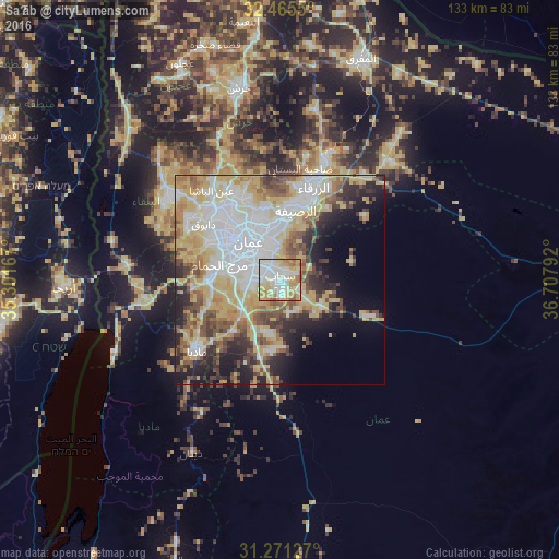
Analysis of Saḩāb night lights 2016
Square area 10x10 km:
 25.09%
90-99
25.64%80-89
19.78%70-79
17.03%60-69
8.42%50-59
4.03%40-49
0%30-39
0%20-29
0%10-19
0%0-9
0%Square area 50x50 km:
11.91%90-99
10.19%80-89
10.84%70-79
8.89%60-69
4.49%50-59
5.02%40-49
6.1%30-39
4.25%20-29
6.95%10-19
8%0-9
23.37%Clear (daylight) street map image can be seen on geolist.org.
Map coordinates:
32° 27' 55.8" North, 35° 18' 6" East
31° 52' 13.2" North, 36° 0' 17.2" East
31° 16' 16.6" North, 36° 42' 28.5" East
Some cities around Saḩāb sort by population:
• Amman
11 km =6.8 mi,  329°
329°
• Russeifa
16.9 km =10.5 mi,  13°
13°
• Wādī as Sīr
19.9 km =12.4 mi,  298°
298°
• Al Jubayhah
18.6 km =11.6 mi, 327°
• Ḩayy al Quwaysimah
6.8 km =4.2 mi,  310°
310°
• Umm as Summāq
14.3 km =8.9 mi,  276°
276°
• Jāwā
6.5 km =4 mi,  252°
252°
• Ḩayy al Bunayyāt
11.7 km =7.3 mi, 284°
247105 (p: 40,241)
Sources (retrieved 2019-11-25):
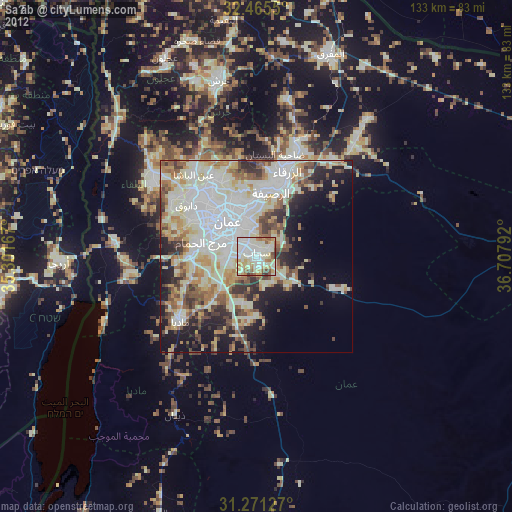
» Earth at Night: Flat Maps 2012, 2016