Wādī as Sīr night lights from space
Night Light of Wādī as Sīr (Amman) from space (Jordan) Src. Average luminocity for 10x10km area is 90.6084% and for 50x50km: 55.8325%.
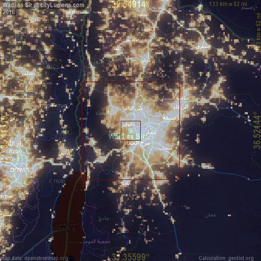
Analysis of Wādī as Sīr night lights 2016
Square area 10x10 km:
 35.49%
90-99
22.9%80-89
23.95%70-79
13.64%60-69
3.67%50-59
0.35%40-49
0%30-39
0%20-29
0%10-19
0%0-9
0%Square area 50x50 km:
11.6%90-99
10.07%80-89
12.57%70-79
10.5%60-69
5.64%50-59
6.39%40-49
7.1%30-39
4.75%20-29
7.22%10-19
13.67%0-9
10.49%Clear (daylight) street map image can be seen on geolist.org.
Map coordinates:
32° 32' 56.9" North, 35° 6' 54.7" East
31° 57' 16.2" North, 35° 49' 5.9" East
31° 21' 21.6" North, 36° 31' 17.2" East
Some cities around Wādī as Sīr sort by population:
• Amman
12 km =7.5 mi,  89°
89°
• As Salţ
12.7 km =7.9 mi,  317°
317°
• Al Jubayhah
9.8 km =6.1 mi,  50°
50°
• Saḩāb
19.9 km =12.4 mi,  118°
118°
• Ḩayy al Quwaysimah
13.3 km =8.3 mi,  111°
111°
• Umm as Summāq
8.4 km =5.2 mi,  156°
156°
• Jāwā
16.1 km =10 mi,  134°
134°
• Ḩayy al Bunayyāt
9 km =5.6 mi,  136°
136°
246013 (p: 181,212)
Sources (retrieved 2019-11-25):
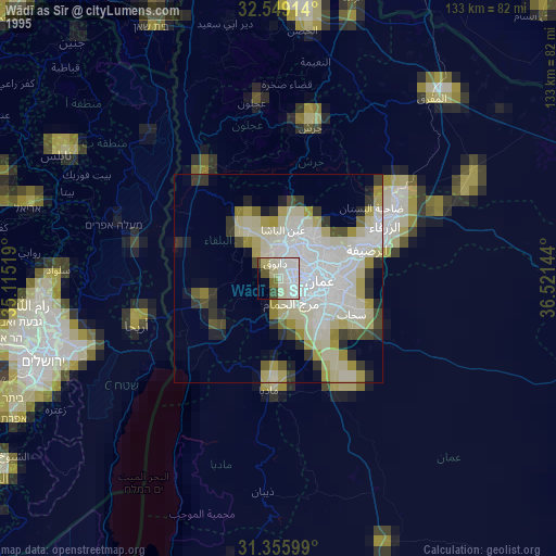
» NASA, Earths city lights 1995
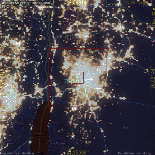
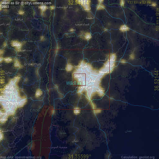
» NASA city lights 2003
» Earth at Night: Flat Maps 2012, 2016