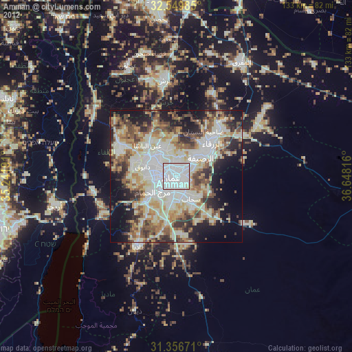
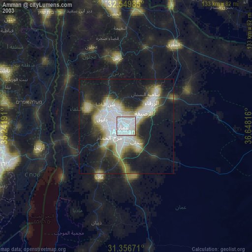
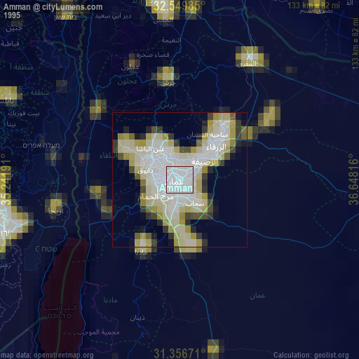
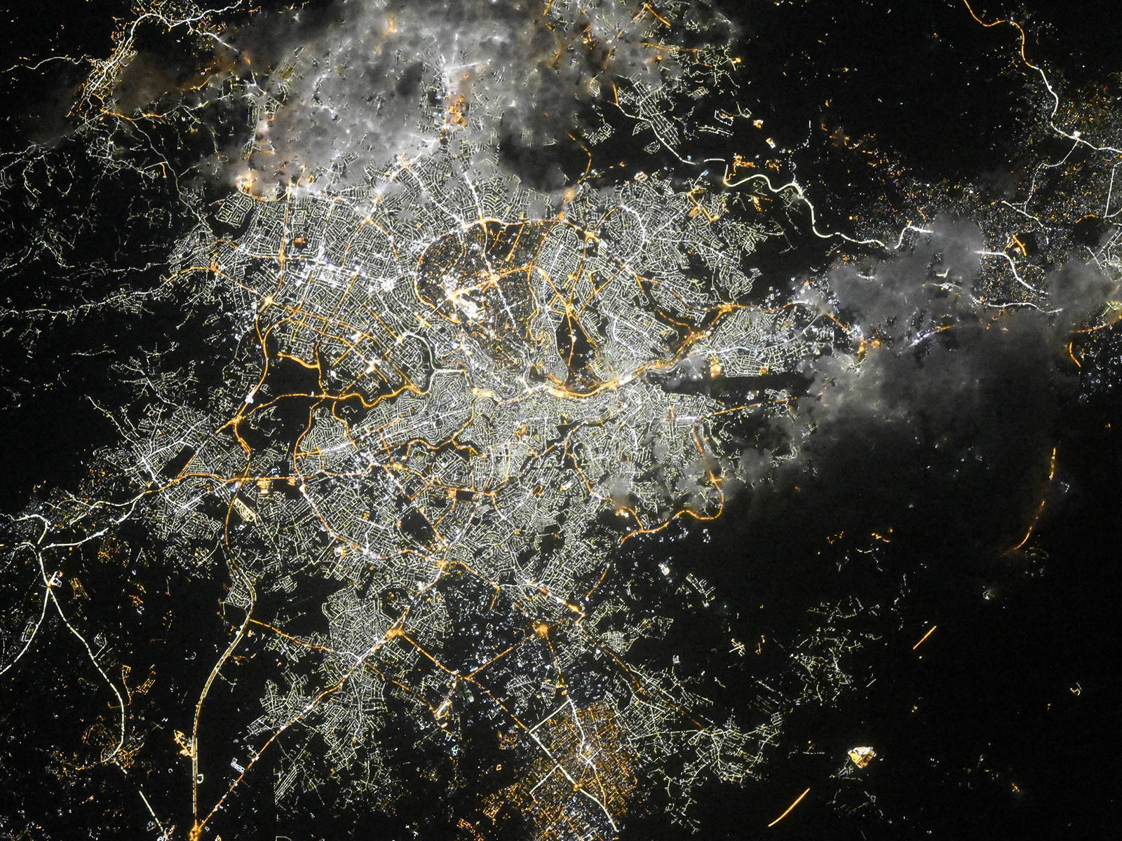
Amman night lights from space
Night Light of Amman from space (Jordan) Src. Average luminocity for 10x10km area is 99.2413% and for 50x50km: 58.3362%.
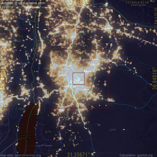
Analysis of Amman night lights 2016
Square area 10x10 km:
 77.8%
77.8%90-99
19.23%80-89
2.97%70-79
0%60-69
0%50-59
0%40-49
0%30-39
0%20-29
0%10-19
0%0-9
0%Square area 50x50 km:
12.3%90-99
10.56%80-89
12.83%70-79
11.06%60-69
6.23%50-59
6.73%40-49
7.65%30-39
5.75%20-29
8.14%10-19
9.38%0-9
9.37%Clear (daylight) street map image can be seen on geolist.org.
Map coordinates:
32° 32' 59.5" North, 35° 14' 30.9" East
31° 57' 18.8" North, 35° 56' 42.1" East
31° 21' 24.2" North, 36° 38' 53.4" East
Fantastic image of Amman from space taken by astronauts [src2], but I don't have information about it's orientation, scale or angle. If necessary, it was rotated manually, so North points approximately to upper direction. Click to zoom in:
Some cities around Amman sort by population:
• Russeifa
11.8 km =7.3 mi,  53°
53°
• WДЃdД« as SД«r
12 km =7.5 mi,  269°
269°
• Al Jubayhah
7.6 km =4.7 mi,  324°
324°
• Saбё©ДЃb
11 km =6.8 mi,  149°
149°
• бёЁayy al Quwaysimah
5 km =3.1 mi,  174°
174°
• Umm as SummДЃq
11.6 km =7.2 mi,  227°
227°
• JДЃwДЃ
11.4 km =7.1 mi,  182°
182°
• бёЁayy al BunayyДЃt
8.7 km =5.4 mi,  220°
220°
250441 (p: 1,275,857)
Sources (retrieved 2019-11-25):
» NASA, Earths city lights 1995
» NASA city lights 2003
» Earth at Night: Flat Maps 2012, 2016
Src.2: picture by Oleg Kononenko, Roscosmos, retrieved 2019-11-29