Al Jubayhah night lights from space
Night Light of Al Jubayhah (Amman) from space (Jordan) Src. Average luminocity for 10x10km area is 97.0385% and for 50x50km: 58.2696%.
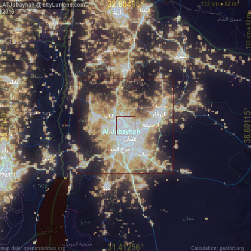
Analysis of Al Jubayhah night lights 2016
Square area 10x10 km:
 56.99%
90-99
31.29%80-89
9.44%70-79
2.27%60-69
0%50-59
0%40-49
0%30-39
0%20-29
0%10-19
0%0-9
0%Square area 50x50 km:
12.12%90-99
10.4%80-89
12.72%70-79
10.87%60-69
6.05%50-59
6.39%40-49
7.62%30-39
5.89%20-29
8.85%10-19
14.53%0-9
4.56%Clear (daylight) street map image can be seen on geolist.org.
Map coordinates:
32° 36' 17.9" North, 35° 11' 41.6" East
32° 0' 38.6" North, 35° 53' 52.9" East
31° 24' 45.2" North, 36° 36' 4.1" East
Some cities around Al Jubayhah sort by population:
• Amman
7.6 km =4.7 mi,  144°
144°
• Russeifa
14 km =8.7 mi,  86°
86°
• Wādī as Sīr
9.8 km =6.1 mi,  230°
230°
• As Salţ
16.4 km =10.2 mi,  281°
281°
• Ḩayy al Quwaysimah
12.2 km =7.6 mi,  156°
156°
• Umm as Summāq
14.5 km =9 mi,  196°
196°
• Jāwā
18 km =11.2 mi,  167°
167°
• Ḩayy al Bunayyāt
12.8 km =8 mi,  185°
185°
250637 (p: 46,834)
Sources (retrieved 2019-11-25):
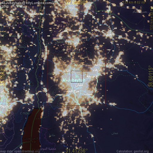
» Earth at Night: Flat Maps 2012, 2016