Mafraq night lights from space
Night Light of Mafraq from space (Jordan) Src. Average luminocity for 10x10km area is 62.5861% and for 50x50km: 27.1448%.
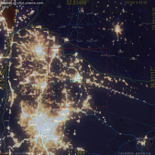
Analysis of Mafraq night lights 2016
Square area 10x10 km:
 7.88%
7.88%90-99
12.64%80-89
21.79%70-79
7.33%60-69
4.21%50-59
4.76%40-49
11.54%30-39
12.09%20-29
17.03%10-19
0.73%0-9
0%Square area 50x50 km:
1.35%90-99
2.04%80-89
5.64%70-79
4.07%60-69
2.56%50-59
3.42%40-49
6.76%30-39
6.94%20-29
13.03%10-19
23.17%0-9
31.01%Clear (daylight) street map image can be seen on geolist.org.
Map coordinates:
32° 56' 5.9" North, 35° 30' 17.7" East
32° 20' 34.4" North, 36° 12' 28.9" East
31° 44' 48.8" North, 36° 54' 40.2" East
Some cities around Mafraq sort by population:
• Zarqa
32.1 km =19.9 mi,  200°
200°
• Ar Ramthā
30.5 km =19 mi,  321°
321°
• Jarash
29.8 km =18.5 mi,  256°
256°
• Rehab
11.2 km =7 mi, 258°
• Al Ḩamrā’
12 km =7.5 mi,  334°
334°
• Şabḩā
27.6 km =17.1 mi,  93°
93°
• Kitim
31.1 km =19.3 mi,  289°
289°
• Balīlā
25.9 km =16.1 mi,  281°
281°
250582 (p: 57,118)
Sources (retrieved 2019-11-25):
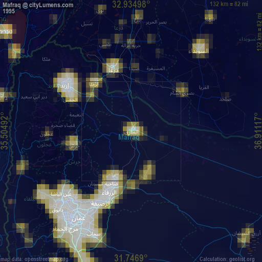
» NASA, Earths city lights 1995
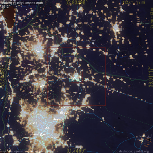
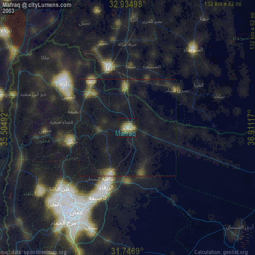
» NASA city lights 2003
» Earth at Night: Flat Maps 2012, 2016