Verdello night lights from space
Night Light of Verdello (Lombardy) from space (Italy) Src. Average luminocity for 10x10km area is 78.35% and for 50x50km: 57.0008%.
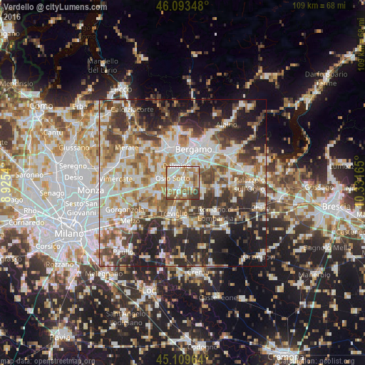
Analysis of Verdello night lights 2016
Square area 10x10 km:
 21.36%
90-99
21.06%80-89
7.12%70-79
13.79%60-69
18.64%50-59
7.12%40-49
6.36%30-39
4.55%20-29
0%10-19
0%0-9
0%Square area 50x50 km:
12.65%90-99
13.68%80-89
5.61%70-79
6.63%60-69
8.3%50-59
8.24%40-49
7.71%30-39
8.86%20-29
12.81%10-19
12.79%0-9
2.71%Clear (daylight) street map image can be seen on geolist.org.
Map coordinates:
46° 5' 36.5" North, 8° 55' 31.4" East
45° 36' 13.4" North, 9° 37' 42.7" East
45° 6' 34.7" North, 10° 19' 53.9" East
Some cities around Verdello sort by population:
• Dalmine
5.4 km =3.4 mi,  341°
341°
• Stezzano
5.4 km =3.4 mi,  19°
19°
• Osio Sotto
3.4 km =2.1 mi,  294°
294°
• Urgnano
5.2 km =3.2 mi,  95°
95°
• Brembate
5.7 km =3.5 mi,  271°
271°
• Ciserano
2.8 km =1.7 mi,  230°
230°
• Boltiere
3.9 km =2.4 mi, 265°
• Spirano
4 km =2.5 mi,  128°
128°
3164557 (p: 7,405)
Sources (retrieved 2019-11-25):
» Earth at Night: Flat Maps 2012, 2016