Varese night lights from space
Night Light of Varese (Lombardy) from space (Italy) Src. Average luminocity for 10x10km area is 63.5446% and for 50x50km: 42.0468%.
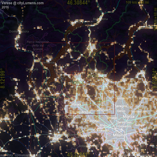
Analysis of Varese night lights 2016
Square area 10x10 km:
 9.97%
9.97%90-99
16.22%80-89
5.36%70-79
9.52%60-69
10.86%50-59
13.99%40-49
9.82%30-39
13.24%20-29
9.82%10-19
1.19%0-9
0%Square area 50x50 km:
7.91%90-99
9.22%80-89
4.15%70-79
5.31%60-69
6.41%50-59
6.05%40-49
5.9%30-39
6.46%20-29
8.18%10-19
19.08%0-9
21.33%Clear (daylight) street map image can be seen on geolist.org.
Map coordinates:
46° 18' 30.4" North, 8° 7' 19.2" East
45° 49' 14.1" North, 8° 49' 30.4" East
45° 19' 42.3" North, 9° 31' 41.7" East
Some cities around Varese sort by population:
• Malnate
5.3 km =3.3 mi,  124°
124°
• Induno Olona
3 km =1.9 mi,  23°
23°
• Gavirate
7.9 km =4.9 mi,  283°
283°
• Arcisate
5.1 km =3.2 mi,  40°
40°
• Castiglione Olona
8.4 km =5.2 mi,  153°
153°
• Vedano Olona
7 km =4.3 mi,  135°
135°
• Venegono Superiore
9.4 km =5.8 mi, 143°
• Sumirago
9.9 km =6.2 mi,  199°
199°
3164699 (p: 76,851)
Sources (retrieved 2019-11-25):
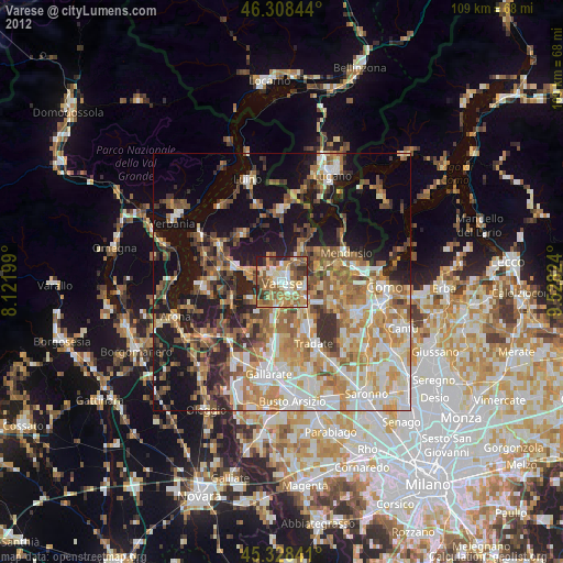
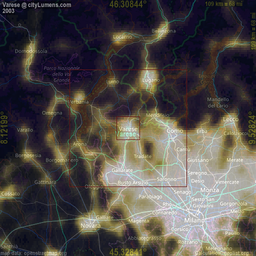
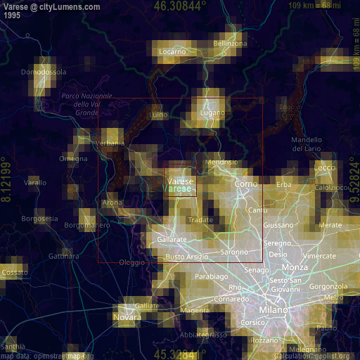
» NASA, Earths city lights 1995
» NASA city lights 2003
» Earth at Night: Flat Maps 2012, 2016