Malnate night lights from space
Night Light of Malnate (Lombardy) from space (Italy) Src. Average luminocity for 10x10km area is 64.6235% and for 50x50km: 47.2835%.
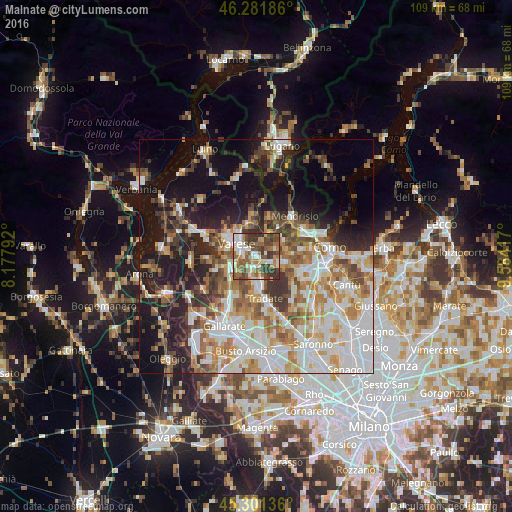
Analysis of Malnate night lights 2016
Square area 10x10 km:
 9.52%
9.52%90-99
15.92%80-89
6.55%70-79
6.7%60-69
13.54%50-59
14.88%40-49
12.5%30-39
19.35%20-29
1.04%10-19
0%0-9
0%Square area 50x50 km:
11.58%90-99
10.53%80-89
4.65%70-79
5.89%60-69
6.73%50-59
6.05%40-49
5.81%30-39
6.05%20-29
7.67%10-19
16.36%0-9
18.67%Clear (daylight) street map image can be seen on geolist.org.
Map coordinates:
46° 16' 54.7" North, 8° 10' 40.5" East
45° 47' 37.6" North, 8° 52' 51.7" East
45° 18' 4.9" North, 9° 35' 3" East
Some cities around Malnate sort by population:
• Varese
5.3 km =3.3 mi,  304°
304°
• Olgiate Comasco
6.8 km =4.2 mi,  98°
98°
• Induno Olona
6.6 km =4.1 mi,  331°
331°
• Arcisate
7 km =4.3 mi,  351°
351°
• Castiglione Olona
4.6 km =2.9 mi,  187°
187°
• Vedano Olona
2.1 km =1.3 mi,  165°
165°
• Venegono Superiore
4.8 km =3 mi,  164°
164°
• Venegono Inferiore
6.6 km =4.1 mi, 170°
3174141 (p: 15,466)
Sources (retrieved 2019-11-25):
» Earth at Night: Flat Maps 2012, 2016