Valle Aurina - Ahrntal night lights from space
Night Light of Valle Aurina - Ahrntal (Trentino-Alto Adige) from space (Italy) Src. Average luminocity for 10x10km area is 0% and for 50x50km: 0.4665%.
Analysis of Valle Aurina - Ahrntal night lights 2016
Square area 10x10 km:
 0%
0%90-99
0%80-89
0%70-79
0%60-69
0%50-59
0%40-49
0%30-39
0%20-29
0%10-19
0%0-9
100%Square area 50x50 km:
0.02%90-99
0.08%80-89
0.02%70-79
0.07%60-69
0.02%50-59
0.04%40-49
0.18%30-39
0.17%20-29
0.12%10-19
0.08%0-9
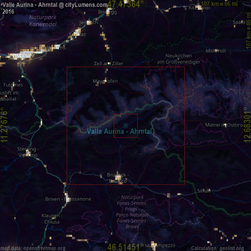
99.19%Clear (daylight) street map image can be seen on geolist.org.
Map coordinates:
47° 28' 25.1" North, 11° 16' 36.3" East
46° 59' 46.4" North, 11° 58' 47.6" East
46° 30' 52.2" North, 12° 40' 58.8" East
Some cities around Valle Aurina - Ahrntal sort by population:
• Bressanone
39.8 km =24.7 mi,  218°
218°
• Schwaz, AT
44.5 km =27.7 mi,  332°
332°
• Hall in Tirol, AT
47.4 km =29.5 mi,  312°
312°
• Brunico
22.2 km =13.8 mi,  188°
188°
• Wattens, AT
44.3 km =27.5 mi,  318°
318°
• Jenbach, AT
46.7 km =29 mi,  340°
340°
• Absam, AT
48.9 km =30.4 mi, 312°
• Vipiteno
43.3 km =26.9 mi,  254°
254°
6534793 (p: 5,517)
Sources (retrieved 2019-11-25):
» Earth at Night: Flat Maps 2012, 2016