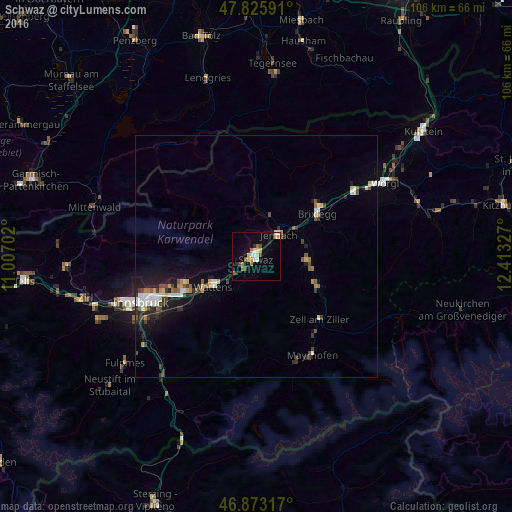
Schwaz night lights from space
Night Light of Schwaz (Tyrol) from space (Austria) Src. Average luminocity for 10x10km area is 15.4033% and for 50x50km: 4.1228%.
Analysis of Schwaz night lights 2016
Square area 10x10 km:
100  1.93%
1.93%
90-99 1.93%
80-89 1.93%
70-79 1.93%
60-69 3.57%
50-59 1.34%
40-49 1.64%
30-39 1.19%
20-29 1.34%
10-19 3.13%
0-9 80.06%
1.93%90-99
1.93%80-89
1.93%70-79
1.93%60-69
3.57%50-59
1.34%40-49
1.64%30-39
1.19%20-29
1.34%10-19
3.13%0-9
80.06%Square area 50x50 km:
100 0.63%
90-99 0.62%
80-89 0.33%
70-79 0.45%
60-69 0.41%
50-59 0.45%
40-49 0.64%
30-39 0.64%
20-29 0.87%
10-19 2.71%
0-9 92.26%
0.63%90-99
0.62%80-89
0.33%70-79
0.45%60-69
0.41%50-59
0.45%40-49
0.64%30-39
0.64%20-29
0.87%10-19
2.71%0-9
92.26%Clear (daylight) street map image can be seen on geolist.org.
Map coordinates:
47° 49' 33.3" North, 11° 0' 25.3" East
47° 21' 6.1" North, 11° 42' 36.5" East
46° 52' 23.4" North, 12° 24' 47.8" East
Some cities around Schwaz sort by population:
• Pradl
24.2 km =15 mi,  246°
246°
• Hall in Tirol
16.4 km =10.2 mi,  242°
242°
• Arzl
22.2 km =13.8 mi, 249°
• Rum
21 km =13 mi, 248°
• Wattens
11 km =6.8 mi,  234°
234°
• Jenbach
6.5 km =4 mi,  46°
46°
• Absam
16.6 km =10.3 mi, 247°
• Mühlau
24.6 km =15.3 mi, 251°
2765390 (p: 13,728)
Sources (retrieved 2019-11-25):
» Earth at Night: Flat Maps 2012, 2016