Absam night lights from space
Night Light of Absam (Tyrol) from space (Austria) Src. Average luminocity for 10x10km area is 25.8988% and for 50x50km: 4.5877%.
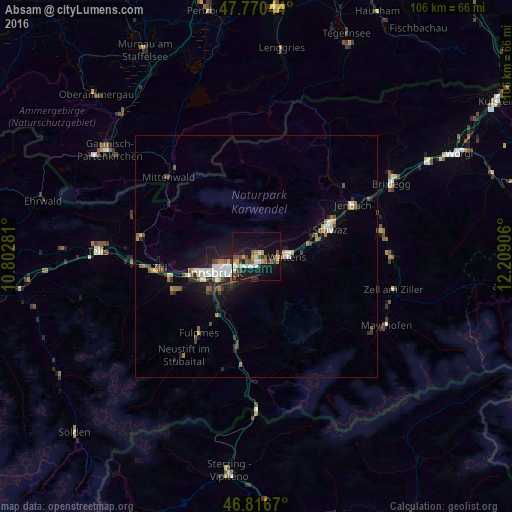
Analysis of Absam night lights 2016
Square area 10x10 km:
100  2.98%
2.98%
90-99 2.98%
80-89 2.83%
70-79 5.21%
60-69 1.93%
50-59 3.87%
40-49 3.13%
30-39 5.65%
20-29 2.83%
10-19 31.55%
0-9 37.05%
2.98%90-99
2.98%80-89
2.83%70-79
5.21%60-69
1.93%50-59
3.87%40-49
3.13%30-39
5.65%20-29
2.83%10-19
31.55%0-9
37.05%Square area 50x50 km:
100 0.63%
90-99 0.67%
80-89 0.36%
70-79 0.47%
60-69 0.47%
50-59 0.57%
40-49 0.7%
30-39 0.74%
20-29 1.11%
10-19 3.66%
0-9 90.64%
0.63%90-99
0.67%80-89
0.36%70-79
0.47%60-69
0.47%50-59
0.57%40-49
0.7%30-39
0.74%20-29
1.11%10-19
3.66%0-9
90.64%Clear (daylight) street map image can be seen on geolist.org.
Map coordinates:
47° 46' 13.6" North, 10° 48' 10.1" East
47° 17' 44.6" North, 11° 30' 21.3" East
46° 49' 0.1" North, 12° 12' 32.6" East
Some cities around Absam sort by population:
• Innsbruck
9.2 km =5.7 mi,  246°
246°
• Pradl
7.6 km =4.7 mi,  243°
243°
• Hall in Tirol
1.6 km =1 mi,  149°
149°
• Arzl
5.6 km =3.5 mi,  255°
255°
• Rum
4.4 km =2.7 mi, 251°
• Wattens
6.4 km =4 mi,  91°
91°
• Amras
8.4 km =5.2 mi,  232°
232°
• Mühlau
8.1 km =5 mi, 260°
2783058 (p: 7,112)
Sources (retrieved 2019-11-25):
» Earth at Night: Flat Maps 2012, 2016