Jenbach night lights from space
Night Light of Jenbach (Tyrol) from space (Austria) Src. Average luminocity for 10x10km area is 8.8679% and for 50x50km: 3.3635%.
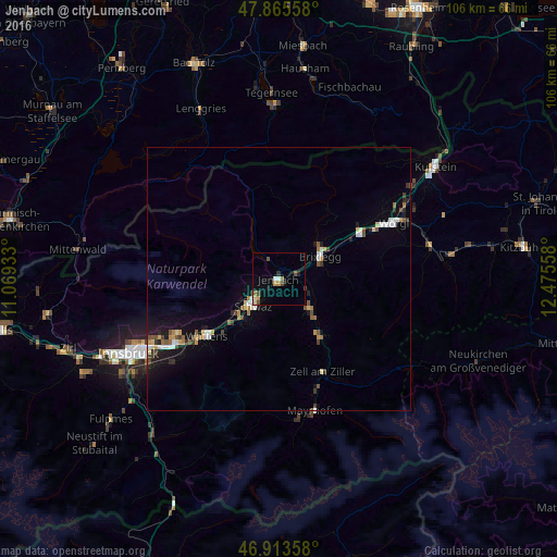
Analysis of Jenbach night lights 2016
Square area 10x10 km:
 1.14%
1.14%90-99
0.85%80-89
0.85%70-79
1.56%60-69
1.28%50-59
0.14%40-49
2.98%30-39
0.14%20-29
1.42%10-19
1.42%0-9
88.21%Square area 50x50 km:
0.43%90-99
0.43%80-89
0.31%70-79
0.42%60-69
0.38%50-59
0.41%40-49
0.51%30-39
0.48%20-29
0.41%10-19
1.93%0-9
94.29%Clear (daylight) street map image can be seen on geolist.org.
Map coordinates:
47° 51' 56.1" North, 11° 4' 9.6" East
47° 23' 30.2" North, 11° 46' 20.8" East
46° 54' 48.9" North, 12° 28' 32.1" East
Some cities around Jenbach sort by population:
• Wörgl
24.3 km =15.1 mi,  63°
63°
• Schwaz
6.5 km =4 mi,  226°
226°
• Hall in Tirol
22.7 km =14.1 mi,  237°
237°
• Arzl
28.3 km =17.6 mi, 244°
• Rum
27.1 km =16.8 mi, 243°
• Wattens
17.5 km =10.9 mi, 231°
• Absam
22.7 km =14.1 mi, 242°
• Kirchbichl
28.1 km =17.5 mi, 60°
2775093 (p: 7,120)
Sources (retrieved 2019-11-25):
» Earth at Night: Flat Maps 2012, 2016