Bressanone night lights from space
Night Light of Bressanone (Trentino-Alto Adige) from space (Italy) Src. Average luminocity for 10x10km area is 7.4122% and for 50x50km: 1.6827%.
Analysis of Bressanone night lights 2016
Square area 10x10 km:
 1.93%
1.93%90-99
1.64%80-89
0%70-79
0.6%60-69
0%50-59
0%40-49
1.19%30-39
2.08%20-29
2.08%10-19
0.6%0-9
89.88%Square area 50x50 km:
0.26%90-99
0.31%80-89
0.09%70-79
0.14%60-69
0.04%50-59
0.31%40-49
0.33%30-39
0.42%20-29
0.33%10-19
0.64%0-9
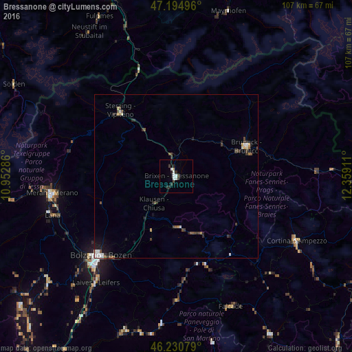
97.14%Clear (daylight) street map image can be seen on geolist.org.
Map coordinates:
47° 11' 41.9" North, 10° 57' 10.3" East
46° 42' 54.1" North, 11° 39' 21.5" East
46° 13' 50.8" North, 12° 21' 32.8" East
Some cities around Bressanone sort by population:
• Bolzano
34.7 km =21.6 mi,  224°
224°
• Merano
38.2 km =23.7 mi,  262°
262°
• Brunico
23.2 km =14.4 mi,  66°
66°
• Laives
40.2 km =25 mi, 217°
• Lana
39.8 km =24.7 mi,  253°
253°
• Renon - Ritten
24.5 km =15.2 mi, 218°
• Valle Aurina - Ahrntal
39.8 km =24.7 mi,  38°
38°
• Vipiteno
26.2 km =16.3 mi,  318°
318°
3181550 (p: 15,868)
Sources (retrieved 2019-11-25):
» Earth at Night: Flat Maps 2012, 2016