Wattens night lights from space
Night Light of Wattens (Tyrol) from space (Austria) Src. Average luminocity for 10x10km area is 12.4688% and for 50x50km: 4.8815%.
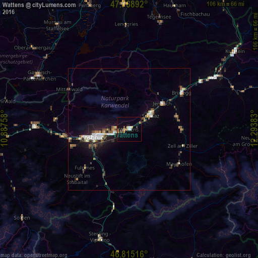
Analysis of Wattens night lights 2016
Square area 10x10 km:
100  1.34%
1.34%
90-99 1.04%
80-89 0.89%
70-79 2.08%
60-69 1.79%
50-59 1.93%
40-49 1.04%
30-39 1.93%
20-29 1.04%
10-19 9.23%
0-9 77.68%
1.34%90-99
1.04%80-89
0.89%70-79
2.08%60-69
1.79%50-59
1.93%40-49
1.04%30-39
1.93%20-29
1.04%10-19
9.23%0-9
77.68%Square area 50x50 km:
100 0.64%
90-99 0.77%
80-89 0.39%
70-79 0.5%
60-69 0.51%
50-59 0.59%
40-49 0.76%
30-39 0.78%
20-29 1.1%
10-19 3.77%
0-9 90.19%
0.64%90-99
0.77%80-89
0.39%70-79
0.5%60-69
0.51%50-59
0.59%40-49
0.76%30-39
0.78%20-29
1.1%10-19
3.77%0-9
90.19%Clear (daylight) street map image can be seen on geolist.org.
Map coordinates:
47° 46' 8.1" North, 10° 53' 15.3" East
47° 17' 39.1" North, 11° 35' 26.5" East
46° 48' 54.6" North, 12° 17' 37.8" East
Some cities around Wattens sort by population:
• Pradl
13.6 km =8.5 mi,  256°
256°
• Schwaz
11 km =6.8 mi,  54°
54°
• Hall in Tirol
5.7 km =3.5 mi, 257°
• Arzl
11.9 km =7.4 mi, 264°
• Rum
10.7 km =6.6 mi, 263°
• Absam
6.4 km =4 mi,  271°
271°
• Amras
14 km =8.7 mi,  249°
249°
• Mühlau
14.4 km =8.9 mi, 265°
2761834 (p: 7,881)
Sources (retrieved 2019-11-25):
» Earth at Night: Flat Maps 2012, 2016