Vipiteno night lights from space
Night Light of Vipiteno (Trentino-Alto Adige) from space (Italy) Src. Average luminocity for 10x10km area is 4.7857% and for 50x50km: 1.0953%.
Analysis of Vipiteno night lights 2016
Square area 10x10 km:
 0.3%
0.3%90-99
1.04%80-89
1.04%70-79
0%60-69
0%50-59
1.49%40-49
0.89%30-39
0.3%20-29
1.49%10-19
0.6%0-9
92.86%Square area 50x50 km:
0.15%90-99
0.17%80-89
0.06%70-79
0.05%60-69
0.13%50-59
0.22%40-49
0.18%30-39
0.31%20-29
0.29%10-19
0.28%0-9
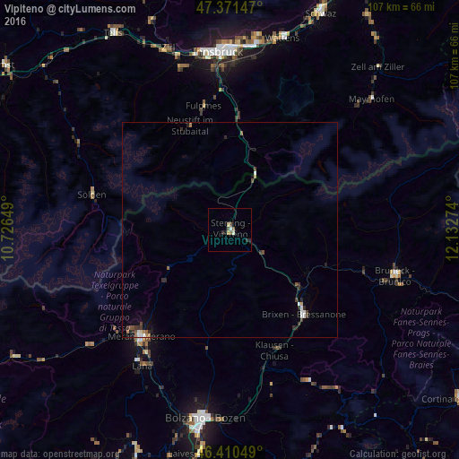
98.17%Clear (daylight) street map image can be seen on geolist.org.
Map coordinates:
47° 22' 17.3" North, 10° 43' 35.4" East
46° 53' 35.3" North, 11° 25' 46.6" East
46° 24' 37.8" North, 12° 7' 57.9" East
Some cities around Vipiteno sort by population:
• Merano
32.4 km =20.1 mi,  219°
219°
• Bressanone
26.2 km =16.3 mi,  138°
138°
• Brunico
39.8 km =24.7 mi,  105°
105°
• Lana
37.5 km =23.3 mi,  213°
213°
• Renon - Ritten
39.2 km =24.4 mi,  176°
176°
• Völs, AT
40.3 km =25 mi,  349°
349°
• Amras, AT
39.7 km =24.7 mi,  358°
358°
• Axams, AT
39.3 km =24.4 mi,  343°
343°
3164065 (p: 5,356)
Sources (retrieved 2019-11-25):
» Earth at Night: Flat Maps 2012, 2016