Prato night lights from space
Night Light of Prato (Tuscany) from space (Italy) Src. Average luminocity for 10x10km area is 78.3016% and for 50x50km: 27.9282%.
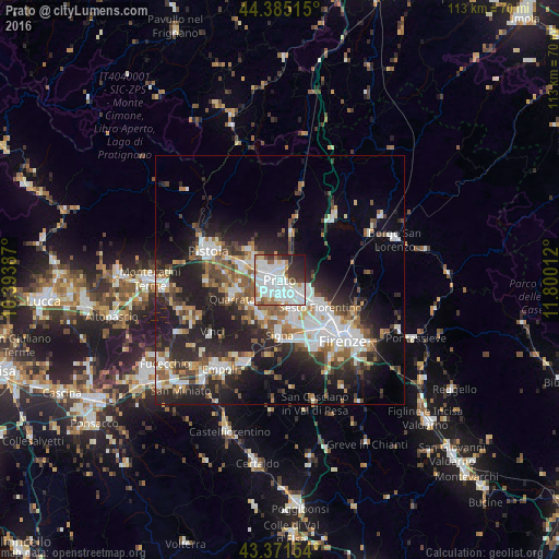
Analysis of Prato night lights 2016
Square area 10x10 km:
 33.65%
90-99
26.67%80-89
4.13%70-79
4.44%60-69
5.56%50-59
3.33%40-49
3.81%30-39
6.83%20-29
7.94%10-19
3.65%0-9
0%Square area 50x50 km:
5.94%90-99
5.76%80-89
1.93%70-79
2.35%60-69
3.41%50-59
4%40-49
3.97%30-39
3.75%20-29
9.99%10-19
14.41%0-9
44.49%Clear (daylight) street map image can be seen on geolist.org.
Map coordinates:
44° 23' 6.5" North, 10° 23' 37.9" East
43° 52' 49.8" North, 11° 5' 49.2" East
43° 22' 17.5" North, 11° 48' 0.4" East
Some cities around Prato sort by population:
• Campi Bisenzio
6.8 km =4.2 mi,  156°
156°
• Montemurlo
7 km =4.3 mi,  317°
317°
• Fornacelle
6.9 km =4.3 mi,  314°
314°
• Agliana
7.7 km =4.8 mi,  288°
288°
• Calenzano
6.2 km =3.9 mi,  117°
117°
• Poggio A Caiano
8.3 km =5.2 mi,  206°
206°
• Montale
8.8 km =5.5 mi, 313°
• Seano
8.2 km =5.1 mi,  227°
227°
3169921 (p: 181,820)
Sources (retrieved 2019-11-25):
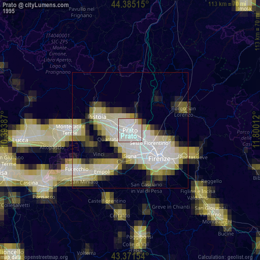
» NASA, Earths city lights 1995
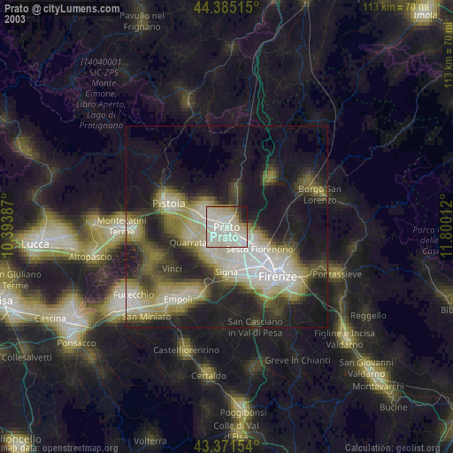
» NASA city lights 2003
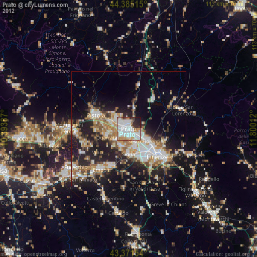
» Earth at Night: Flat Maps 2012, 2016