Senigallia night lights from space
Night Light of Senigallia (The Marches) from space (Italy) Src. Average luminocity for 10x10km area is 28.997% and for 50x50km: 16.0152%.
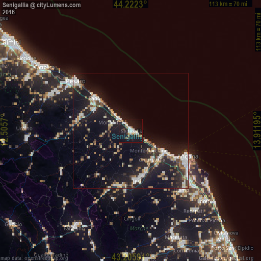
Analysis of Senigallia night lights 2016
Square area 10x10 km:
 5.45%
5.45%90-99
6.82%80-89
1.82%70-79
1.67%60-69
3.18%50-59
0.91%40-49
4.24%30-39
1.52%20-29
5.15%10-19
48.94%0-9
20.3%Square area 50x50 km:
2.3%90-99
3.17%80-89
1.22%70-79
1.38%60-69
1.82%50-59
1.48%40-49
1.85%30-39
2.06%20-29
5.38%10-19
18.13%0-9
61.22%Clear (daylight) street map image can be seen on geolist.org.
Map coordinates:
44° 13' 20.3" North, 12° 30' 20.5" East
43° 42' 58.5" North, 13° 12' 31.8" East
43° 12' 21.3" North, 13° 54' 43" East
Some cities around Senigallia sort by population:
• Fano
20.7 km =12.9 mi,  311°
311°
• Jesi
21.8 km =13.5 mi,  172°
172°
• Falconara Marittima
18.4 km =11.4 mi,  123°
123°
• Chiaravalle
15.9 km =9.9 mi,  143°
143°
• Marotta
7.2 km =4.5 mi,  317°
317°
• Lucrezia
22.5 km =14 mi,  286°
286°
• Marotta
13 km =8.1 mi, 315°
• Calcinelli
23.6 km =14.7 mi,  280°
280°
3166740 (p: 30,882)
Sources (retrieved 2019-11-25):
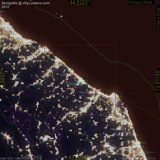
» Earth at Night: Flat Maps 2012, 2016