Jesi night lights from space
Night Light of Jesi (The Marches) from space (Italy) Src. Average luminocity for 10x10km area is 35.3048% and for 50x50km: 18.9664%.
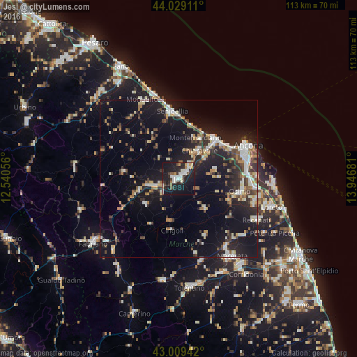
Analysis of Jesi night lights 2016
Square area 10x10 km:
 7.3%
7.3%90-99
9.21%80-89
1.59%70-79
2.7%60-69
1.9%50-59
2.22%40-49
1.59%30-39
6.03%20-29
13.33%10-19
46.51%0-9
7.62%Square area 50x50 km:
2.4%90-99
3.65%80-89
1.72%70-79
1.89%60-69
1.88%50-59
1.88%40-49
2.36%30-39
2.57%20-29
6.48%10-19
19.34%0-9
55.82%Clear (daylight) street map image can be seen on geolist.org.
Map coordinates:
44° 1' 44.8" North, 12° 32' 26" East
43° 31' 17.1" North, 13° 14' 37.2" East
43° 0' 33.9" North, 13° 56' 48.5" East
Some cities around Jesi sort by population:
• Ancona
22.4 km =13.9 mi,  68°
68°
• Senigallia
21.8 km =13.5 mi,  352°
352°
• Falconara Marittima
17.1 km =10.6 mi,  47°
47°
• Osimo
19.7 km =12.2 mi,  101°
101°
• Chiaravalle
11 km =6.8 mi,  36°
36°
• Le Grazie di Ancona
23.6 km =14.7 mi, 68°
• Filottrano
12.9 km =8 mi,  137°
137°
• Camerano
24.9 km =15.5 mi,  88°
88°
3175628 (p: 36,985)
Sources (retrieved 2019-11-25):
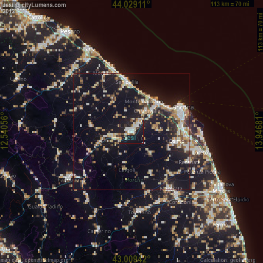
» Earth at Night: Flat Maps 2012, 2016