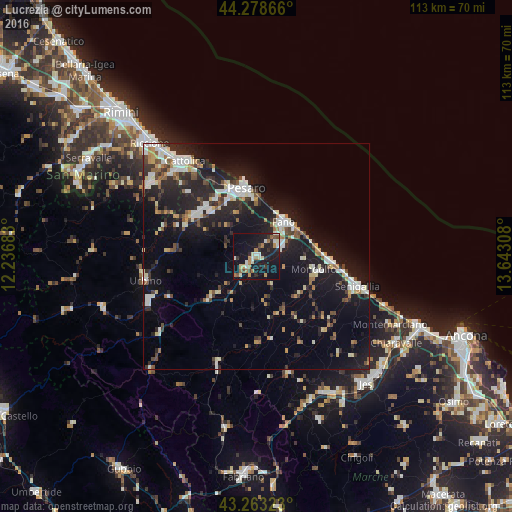
Lucrezia night lights from space
Night Light of Lucrezia (The Marches) from space (Italy) Src. Average luminocity for 10x10km area is 27.7788% and for 50x50km: 16.0792%.
Analysis of Lucrezia night lights 2016
Square area 10x10 km:
 1.36%
1.36%90-99
6.52%80-89
2.42%70-79
3.48%60-69
5.15%50-59
2.12%40-49
1.97%30-39
3.03%20-29
7.27%10-19
44.09%0-9
22.58%Square area 50x50 km:
2.27%90-99
3.27%80-89
1.31%70-79
1.22%60-69
1.57%50-59
1.69%40-49
1.8%30-39
2.06%20-29
5.62%10-19
15.97%0-9
63.23%Clear (daylight) street map image can be seen on geolist.org.
Map coordinates:
44° 16' 43.2" North, 12° 14' 12.6" East
43° 46' 23.2" North, 12° 56' 23.8" East
43° 15' 47.6" North, 13° 38' 35.1" East
Some cities around Lucrezia sort by population:
• Pesaro
15.3 km =9.5 mi,  352°
352°
• Fano
9.7 km =6 mi,  39°
39°
• Senigallia
22.5 km =14 mi,  106°
106°
• Fermignano
24.6 km =15.3 mi,  248°
248°
• Fossombrone
13.8 km =8.6 mi,  228°
228°
• Marotta
16.7 km =10.4 mi,  93°
93°
• Marotta
12.7 km =7.9 mi,  76°
76°
• Calcinelli
2.7 km =1.7 mi,  217°
217°
3174508 (p: 6,154)
Sources (retrieved 2019-11-25):
» Earth at Night: Flat Maps 2012, 2016