San Remo night lights from space
Night Light of San Remo (Liguria) from space (Italy) Src. Average luminocity for 10x10km area is 37.5712% and for 50x50km: 8.6554%.
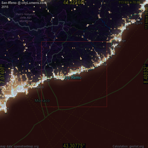
Analysis of San Remo night lights 2016
Square area 10x10 km:
 7.27%
7.27%90-99
6.82%80-89
3.48%70-79
3.79%60-69
7.12%50-59
3.94%40-49
3.33%30-39
2.88%20-29
11.97%10-19
37.27%0-9
12.12%Square area 50x50 km:
0.9%90-99
1.69%80-89
0.73%70-79
0.79%60-69
1.29%50-59
0.92%40-49
1.26%30-39
0.8%20-29
1.9%10-19
11.32%0-9
78.41%Clear (daylight) street map image can be seen on geolist.org.
Map coordinates:
44° 19' 20.8" North, 7° 4' 26.7" East
43° 49' 2.1" North, 7° 46' 37.9" East
43° 18' 27.9" North, 8° 28' 49.2" East
Some cities around San Remo sort by population:
• Imperia
22.5 km =14 mi,  69°
69°
• Menton, FR
22.4 km =13.9 mi,  258°
258°
• Ventimiglia
13.9 km =8.6 mi, 257°
• Taggia
6.8 km =4.2 mi,  61°
61°
• Roquebrune-Cap-Martin, FR
24.4 km =15.2 mi, 255°
• Bordighera
9.9 km =6.2 mi,  245°
245°
• Vallecrosia
11.6 km =7.2 mi, 252°
• Diano Marina
26.4 km =16.4 mi, 66°
3167777 (p: 47,043)
Sources (retrieved 2019-11-25):
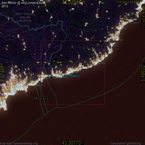
» Earth at Night: Flat Maps 2012, 2016