Diano Marina night lights from space
Night Light of Diano Marina (Liguria) from space (Italy) Src. Average luminocity for 10x10km area is 35.9905% and for 50x50km: 8.787%.
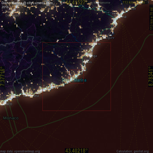
Analysis of Diano Marina night lights 2016
Square area 10x10 km:
 3.49%
3.49%90-99
8.1%80-89
4.29%70-79
2.54%60-69
5.71%50-59
4.44%40-49
8.25%30-39
3.49%20-29
9.21%10-19
35.71%0-9
14.76%Square area 50x50 km:
0.9%90-99
1.6%80-89
0.74%70-79
0.76%60-69
1.18%50-59
1.11%40-49
1.48%30-39
0.97%20-29
2.82%10-19
10.32%0-9
78.12%Clear (daylight) street map image can be seen on geolist.org.
Map coordinates:
44° 24' 55" North, 7° 22' 37.8" East
43° 54' 39.2" North, 8° 4' 49" East
43° 24' 7.8" North, 8° 47' 0.3" East
Some cities around Diano Marina sort by population:
• San Remo
26.4 km =16.4 mi,  246°
246°
• Imperia
4.1 km =2.5 mi,  233°
233°
• Albenga
19 km =11.8 mi,  35°
35°
• Taggia
19.6 km =12.2 mi, 248°
• Alassio
12.5 km =7.8 mi,  33°
33°
• Andora
6.9 km =4.3 mi, 44°
• Ceriale
23.3 km =14.5 mi, 30°
• Marina di Andora
7.6 km =4.7 mi,  51°
51°
3177595 (p: 5,130)
Sources (retrieved 2019-11-25):
» Earth at Night: Flat Maps 2012, 2016