Taggia night lights from space
Night Light of Taggia (Liguria) from space (Italy) Src. Average luminocity for 10x10km area is 36.0492% and for 50x50km: 9.3176%.
Analysis of Taggia night lights 2016
Square area 10x10 km:
 3.97%
3.97%90-99
8.25%80-89
3.49%70-79
3.17%60-69
6.83%50-59
3.17%40-49
6.83%30-39
3.17%20-29
7.46%10-19
45.71%0-9
7.94%Square area 50x50 km:
0.83%90-99
1.66%80-89
0.84%70-79
0.97%60-69
1.36%50-59
1.16%40-49
1.51%30-39
0.9%20-29
2.29%10-19
11.96%0-9
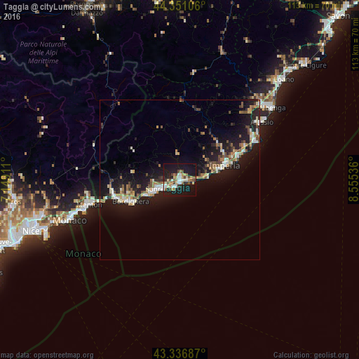
76.5%Clear (daylight) street map image can be seen on geolist.org.
Map coordinates:
44° 21' 3.8" North, 7° 8' 56.8" East
43° 50' 46" North, 7° 51' 8" East
43° 20' 12.7" North, 8° 33' 19.3" East
Some cities around Taggia sort by population:
• San Remo
6.8 km =4.2 mi,  241°
241°
• Imperia
15.7 km =9.8 mi,  72°
72°
• Ventimiglia
20.5 km =12.7 mi,  252°
252°
• Bordighera
16.7 km =10.4 mi, 244°
• Andora
26.1 km =16.2 mi,  62°
62°
• Vallecrosia
18.3 km =11.4 mi, 248°
• Diano Marina
19.6 km =12.2 mi, 68°
• Marina di Andora
27 km =16.8 mi, 63°
3165993 (p: 12,762)
Sources (retrieved 2019-11-25):
» Earth at Night: Flat Maps 2012, 2016