Poggio Rusco night lights from space
Night Light of Poggio Rusco (Lombardy) from space (Italy) Src. Average luminocity for 10x10km area is 22.8524% and for 50x50km: 24.0282%.
Analysis of Poggio Rusco night lights 2016
Square area 10x10 km:
 1.27%
1.27%90-99
5.56%80-89
4.44%70-79
0.79%60-69
2.06%50-59
0.79%40-49
1.27%30-39
2.06%20-29
2.06%10-19
53.02%0-9
26.67%Square area 50x50 km:
2.69%90-99
4.41%80-89
2.6%70-79
1.87%60-69
2.03%50-59
2.62%40-49
3.46%30-39
3.62%20-29
7.39%10-19
31.04%0-9
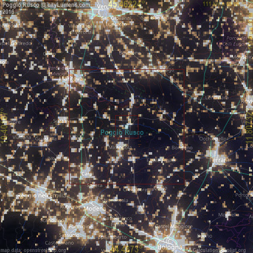
38.28%Clear (daylight) street map image can be seen on geolist.org.
Map coordinates:
45° 27' 44.1" North, 10° 24' 3.9" East
44° 58' 0.9" North, 11° 6' 15.1" East
44° 28' 2.3" North, 11° 48' 26.4" East
Some cities around Poggio Rusco sort by population:
• Mirandola
9.5 km =5.9 mi,  196°
196°
• Finale Emilia
21 km =13 mi,  134°
134°
• San Felice sul Panaro
14.7 km =9.1 mi,  169°
169°
• Novi di Modena
18.2 km =11.3 mi,  241°
241°
• Ostiglia
11.7 km =7.3 mi,  11°
11°
• Cavezzo
15.8 km =9.8 mi, 202°
• San Benedetto Po
16 km =9.9 mi,  303°
303°
• Gonzaga
22.5 km =14 mi,  265°
265°
3170441 (p: 5,769)
Sources (retrieved 2019-11-25):
» Earth at Night: Flat Maps 2012, 2016