Parabita night lights from space
Night Light of Parabita (Apulia) from space (Italy) Src. Average luminocity for 10x10km area is 51.4773% and for 50x50km: 26.504%.
Analysis of Parabita night lights 2016
Square area 10x10 km:
100  7.31%
7.31%
90-99 9.25%
80-89 7.63%
70-79 6.01%
60-69 9.42%
50-59 4.55%
40-49 4.71%
30-39 12.18%
20-29 35.23%
10-19 3.73%
0-9 0%
7.31%90-99
9.25%80-89
7.63%70-79
6.01%60-69
9.42%50-59
4.55%40-49
4.71%30-39
12.18%20-29
35.23%10-19
3.73%0-9
0%Square area 50x50 km:
100 2.46%
90-99 4.93%
80-89 3.41%
70-79 3.12%
60-69 3.19%
50-59 2.17%
40-49 2.67%
30-39 5.67%
20-29 16.94%
10-19 20.39%
0-9 35.05%
2.46%90-99
4.93%80-89
3.41%70-79
3.12%60-69
3.19%50-59
2.17%40-49
2.67%30-39
5.67%20-29
16.94%10-19
20.39%0-9
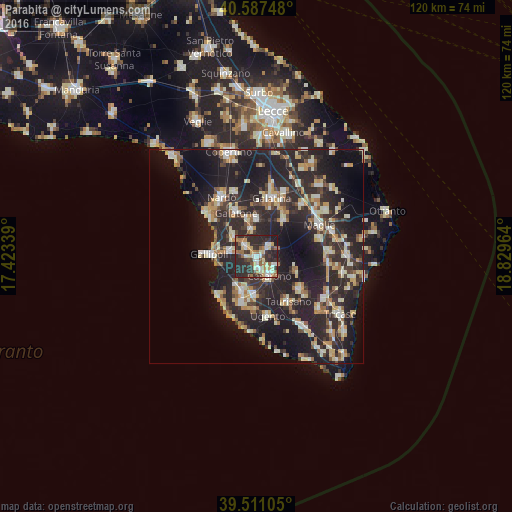
35.05%Clear (daylight) street map image can be seen on geolist.org.
Map coordinates:
40° 35' 14.9" North, 17° 25' 24.2" East
40° 3' 5" North, 18° 7' 35.4" East
39° 30' 39.8" North, 18° 49' 46.7" East
Some cities around Parabita sort by population:
• Casarano
5.4 km =3.4 mi,  145°
145°
• Taviano
8.6 km =5.3 mi,  206°
206°
• Matino
2.4 km =1.5 mi,  159°
159°
• Aradeo
8.7 km =5.4 mi,  1°
1°
• Collepasso
3.7 km =2.3 mi,  54°
54°
• Alezio
6 km =3.7 mi,  281°
281°
• Neviano
6.2 km =3.9 mi,  351°
351°
• Tuglie
3.4 km =2.1 mi,  316°
316°
3171483 (p: 8,739)
Sources (retrieved 2019-11-25):
» Earth at Night: Flat Maps 2012, 2016