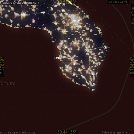
Taviano night lights from space
Night Light of Taviano (Apulia) from space (Italy) Src. Average luminocity for 10x10km area is 48.682% and for 50x50km: 21.5936%.
Analysis of Taviano night lights 2016
Square area 10x10 km:
100  5.78%
5.78%
90-99 7.82%
80-89 8.33%
70-79 5.95%
60-69 10.03%
50-59 2.72%
40-49 6.46%
30-39 13.61%
20-29 27.55%
10-19 11.73%
0-9 0%
5.78%90-99
7.82%80-89
8.33%70-79
5.95%60-69
10.03%50-59
2.72%40-49
6.46%30-39
13.61%20-29
27.55%10-19
11.73%0-9
0%Square area 50x50 km:
100 2.07%
90-99 4.28%
80-89 2.81%
70-79 2.54%
60-69 2.84%
50-59 1.76%
40-49 2.24%
30-39 4.76%
20-29 13.77%
10-19 13.37%
0-9 49.57%
2.07%90-99
4.28%80-89
2.81%70-79
2.54%60-69
2.84%50-59
1.76%40-49
2.24%30-39
4.76%20-29
13.77%10-19
13.37%0-9
49.57%Clear (daylight) street map image can be seen on geolist.org.
Map coordinates:
40° 31' 8" North, 17° 22' 42.2" East
39° 58' 56.1" North, 18° 4' 53.4" East
39° 26' 28.9" North, 18° 47' 4.7" East
Some cities around Taviano sort by population:
• Casarano
7.6 km =4.7 mi,  64°
64°
• Matino
7.1 km =4.4 mi,  40°
40°
• Racale
2.5 km =1.6 mi,  160°
160°
• Ugento
9 km =5.6 mi,  133°
133°
• Parabita
8.6 km =5.3 mi,  26°
26°
• Melissano
3.5 km =2.2 mi,  106°
106°
• Alezio
9.1 km =5.7 mi,  346°
346°
• Tuglie
10.2 km =6.3 mi,  8°
8°
2522968 (p: 11,560)
Sources (retrieved 2019-11-25):
» Earth at Night: Flat Maps 2012, 2016