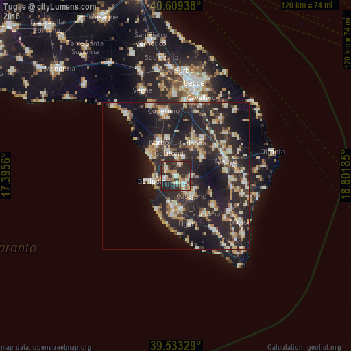
Tuglie night lights from space
Night Light of Tuglie (Apulia) from space (Italy) Src. Average luminocity for 10x10km area is 49.3133% and for 50x50km: 26.769%.
Analysis of Tuglie night lights 2016
Square area 10x10 km:
100  6.01%
6.01%
90-99 8.28%
80-89 8.28%
70-79 5.84%
60-69 7.79%
50-59 4.06%
40-49 4.55%
30-39 10.71%
20-29 42.37%
10-19 2.11%
0-9 0%
6.01%90-99
8.28%80-89
8.28%70-79
5.84%60-69
7.79%50-59
4.06%40-49
4.55%30-39
10.71%20-29
42.37%10-19
2.11%0-9
0%Square area 50x50 km:
100 2.51%
90-99 5.03%
80-89 3.42%
70-79 3.11%
60-69 3.37%
50-59 2.22%
40-49 2.77%
30-39 5.63%
20-29 17.5%
10-19 19.78%
0-9 34.66%
2.51%90-99
5.03%80-89
3.42%70-79
3.11%60-69
3.37%50-59
2.22%40-49
2.77%30-39
5.63%20-29
17.5%10-19
19.78%0-9
34.66%Clear (daylight) street map image can be seen on geolist.org.
Map coordinates:
40° 36' 33.8" North, 17° 23' 44.2" East
40° 4' 24.5" North, 18° 5' 55.4" East
39° 31' 59.8" North, 18° 48' 6.7" East
Some cities around Tuglie sort by population:
• Casarano
8.8 km =5.5 mi,  141°
141°
• Galatone
8.5 km =5.3 mi,  342°
342°
• Matino
5.7 km =3.5 mi,  145°
145°
• Aradeo
6.7 km =4.2 mi,  22°
22°
• Parabita
3.4 km =2.1 mi, 136°
• Collepasso
5.4 km =3.4 mi,  92°
92°
• Alezio
3.8 km =2.4 mi,  250°
250°
• Neviano
3.9 km =2.4 mi, 20°
3165116 (p: 5,100)
Sources (retrieved 2019-11-25):
» Earth at Night: Flat Maps 2012, 2016