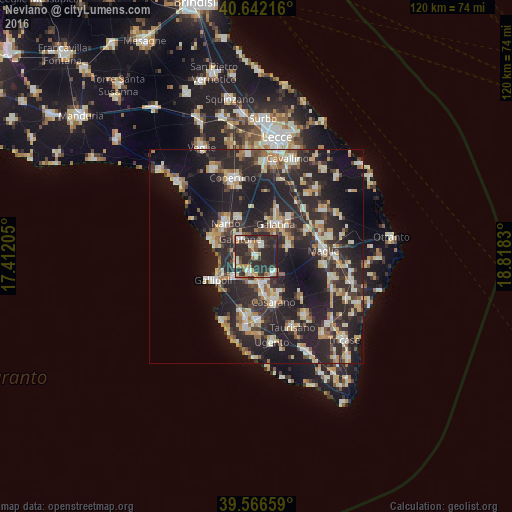
Neviano night lights from space
Night Light of Neviano (Apulia) from space (Italy) Src. Average luminocity for 10x10km area is 47.1234% and for 50x50km: 28.867%.
Analysis of Neviano night lights 2016
Square area 10x10 km:
100  5.84%
5.84%
90-99 8.44%
80-89 6.01%
70-79 6.01%
60-69 6.17%
50-59 3.57%
40-49 4.22%
30-39 12.01%
20-29 43.67%
10-19 4.06%
0-9 0%
5.84%90-99
8.44%80-89
6.01%70-79
6.01%60-69
6.17%50-59
3.57%40-49
4.22%30-39
12.01%20-29
43.67%10-19
4.06%0-9
0%Square area 50x50 km:
100 2.76%
90-99 5.4%
80-89 3.57%
70-79 3.46%
60-69 3.72%
50-59 2.53%
40-49 3%
30-39 6.05%
20-29 18.58%
10-19 20.72%
0-9 30.21%
2.76%90-99
5.4%80-89
3.57%70-79
3.46%60-69
3.72%50-59
2.53%40-49
3%30-39
6.05%20-29
18.58%10-19
20.72%0-9
30.21%Clear (daylight) street map image can be seen on geolist.org.
Map coordinates:
40° 38' 31.8" North, 17° 24' 43.4" East
40° 6' 23.4" North, 18° 6' 54.6" East
39° 33' 59.7" North, 18° 49' 5.9" East
Some cities around Neviano sort by population:
• Galatone
5.9 km =3.7 mi,  318°
318°
• Matino
8.6 km =5.3 mi,  167°
167°
• Aradeo
2.8 km =1.7 mi,  25°
25°
• Parabita
6.2 km =3.9 mi, 171°
• Cutrofiano
7.7 km =4.8 mi,  73°
73°
• Collepasso
5.6 km =3.5 mi,  134°
134°
• Alezio
7 km =4.3 mi,  225°
225°
• Tuglie
3.9 km =2.4 mi,  200°
200°
3172283 (p: 5,182)
Sources (retrieved 2019-11-25):
» Earth at Night: Flat Maps 2012, 2016