Palagiano night lights from space
Night Light of Palagiano (Apulia) from space (Italy) Src. Average luminocity for 10x10km area is 20.2646% and for 50x50km: 15.7643%.
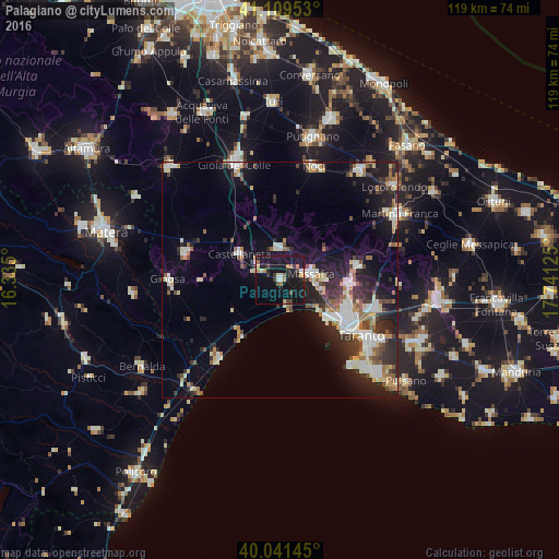
Analysis of Palagiano night lights 2016
Square area 10x10 km:
 1.14%
1.14%90-99
2.27%80-89
1.46%70-79
2.6%60-69
3.41%50-59
0.81%40-49
3.08%30-39
3.41%20-29
3.73%10-19
46.75%0-9
31.33%Square area 50x50 km:
2.52%90-99
3.07%80-89
1.62%70-79
1.32%60-69
1.63%50-59
1.95%40-49
1.8%30-39
2.57%20-29
5.1%10-19
9.95%0-9
68.48%Clear (daylight) street map image can be seen on geolist.org.
Map coordinates:
41° 6' 34.3" North, 16° 20' 6" East
40° 34' 39.4" North, 17° 2' 17.2" East
40° 2' 29.2" North, 17° 44' 28.5" East
Some cities around Palagiano sort by population:
• Taranto
21.7 km =13.5 mi,  125°
125°
• Massafra
6.7 km =4.2 mi,  81°
81°
• Paolo VI
20.9 km =13 mi,  107°
107°
• Castellaneta
10.5 km =6.5 mi,  302°
302°
• Laterza
20.9 km =13 mi,  285°
285°
• Statte
14.8 km =9.2 mi, 111°
• Mottola
6.8 km =4.2 mi,  357°
357°
• Crispiano
16.7 km =10.4 mi, 79°
3171664 (p: 15,388)
Sources (retrieved 2019-11-25):
» Earth at Night: Flat Maps 2012, 2016