Massafra night lights from space
Night Light of Massafra (Apulia) from space (Italy) Src. Average luminocity for 10x10km area is 30.8945% and for 50x50km: 18.3581%.
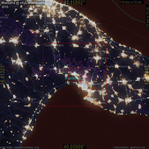
Analysis of Massafra night lights 2016
Square area 10x10 km:
 3.57%
3.57%90-99
4.87%80-89
4.87%70-79
2.44%60-69
3.41%50-59
0.97%40-49
4.22%30-39
4.38%20-29
13.47%10-19
49.35%0-9
8.44%Square area 50x50 km:
2.66%90-99
3.32%80-89
1.82%70-79
1.53%60-69
2.16%50-59
2.43%40-49
2.24%30-39
3.05%20-29
7.19%10-19
13.92%0-9
59.68%Clear (daylight) street map image can be seen on geolist.org.
Map coordinates:
41° 7' 4.9" North, 16° 24' 47.6" East
40° 35' 10.2" North, 17° 6' 58.9" East
40° 3' 0.3" North, 17° 49' 10.1" East
Some cities around Massafra sort by population:
• Taranto
17.5 km =10.9 mi,  140°
140°
• Paolo VI
15.1 km =9.4 mi,  118°
118°
• Palagiano
6.7 km =4.2 mi,  261°
261°
• Castellaneta
16.2 km =10.1 mi,  286°
286°
• Statte
9.6 km =6 mi,  131°
131°
• Mottola
9.1 km =5.7 mi,  310°
310°
• Crispiano
10 km =6.2 mi,  78°
78°
• Palagianello
11.9 km =7.4 mi,  282°
282°
3173762 (p: 30,875)
Sources (retrieved 2019-11-25):
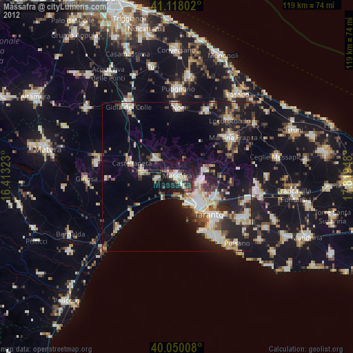
» Earth at Night: Flat Maps 2012, 2016