Taranto night lights from space
Night Light of Taranto (Apulia) from space (Italy) Src. Average luminocity for 10x10km area is 64.199% and for 50x50km: 17.7213%.
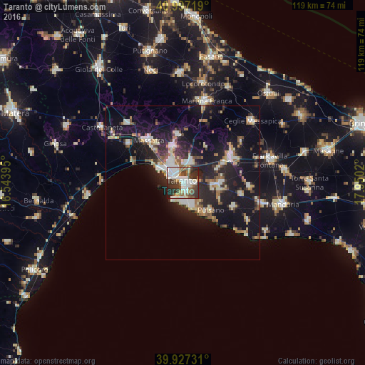
Analysis of Taranto night lights 2016
Square area 10x10 km:
 18.03%
90-99
18.54%80-89
4.76%70-79
2.21%60-69
5.95%50-59
9.35%40-49
11.56%30-39
13.78%20-29
13.95%10-19
1.87%0-9
0%Square area 50x50 km:
2.46%90-99
3.25%80-89
1.78%70-79
1.47%60-69
2.14%50-59
2.11%40-49
2.13%30-39
2.49%20-29
6.64%10-19
17.59%0-9
57.97%Clear (daylight) street map image can be seen on geolist.org.
Map coordinates:
40° 59' 49.9" North, 16° 32' 38.2" East
40° 27' 51.8" North, 17° 14' 49.5" East
39° 55' 38.3" North, 17° 57' 0.7" East
Some cities around Taranto sort by population:
• Massafra
17.5 km =10.9 mi,  320°
320°
• Paolo VI
6.8 km =4.2 mi,  19°
19°
• San Giorgio Ionico
11.3 km =7 mi,  93°
93°
• Statte
8.1 km =5 mi,  331°
331°
• Crispiano
15.5 km =9.6 mi,  355°
355°
• Pulsano
13.1 km =8.1 mi,  135°
135°
• Carosino
12.8 km =8 mi, 89°
• Monteiasi
12.1 km =7.5 mi,  70°
70°
3165926 (p: 181,082)
Sources (retrieved 2019-11-25):
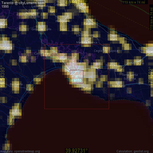
» NASA, Earths city lights 1995
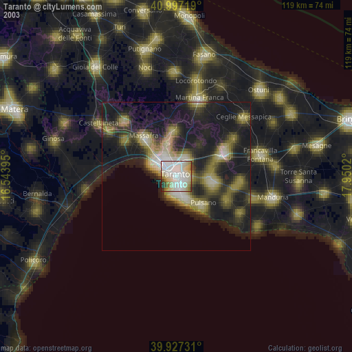
» NASA city lights 2003
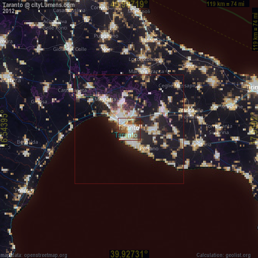
» Earth at Night: Flat Maps 2012, 2016