Imola night lights from space
Night Light of Imola (Emilia-Romagna) from space (Italy) Src. Average luminocity for 10x10km area is 39.1349% and for 50x50km: 17.0764%.
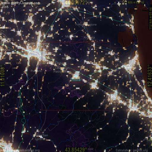
Analysis of Imola night lights 2016
Square area 10x10 km:
 8.73%
8.73%90-99
9.37%80-89
1.59%70-79
3.49%60-69
4.13%50-59
2.7%40-49
2.7%30-39
1.11%20-29
19.21%10-19
46.35%0-9
0.63%Square area 50x50 km:
2.36%90-99
3.32%80-89
1.18%70-79
1.48%60-69
1.64%50-59
2%40-49
1.99%30-39
2.28%20-29
5.77%10-19
21.26%0-9
56.71%Clear (daylight) street map image can be seen on geolist.org.
Map coordinates:
44° 51' 35" North, 11° 0' 36.3" East
44° 21' 33" North, 11° 42' 47.5" East
43° 51' 15.4" North, 12° 24' 58.8" East
Some cities around Imola sort by population:
• Faenza
15.3 km =9.5 mi,  120°
120°
• Lugo
17.2 km =10.7 mi,  66°
66°
• Castel San Pietro Terme
11.1 km =6.9 mi,  293°
293°
• Massa Lombarda
13 km =8.1 mi,  41°
41°
• Ozzano dell'Emilia
21.1 km =13.1 mi,  296°
296°
• Medicina-Buda
14.6 km =9.1 mi,  335°
335°
• Bagnacavallo
21.9 km =13.6 mi, 73°
• Castel Bolognese
8.1 km =5 mi, 122°
3175537 (p: 52,981)
Sources (retrieved 2019-11-25):
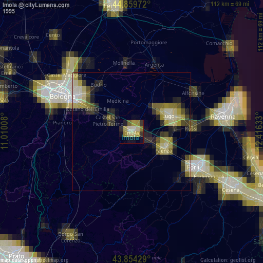
» NASA, Earths city lights 1995
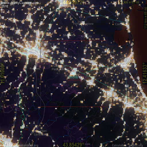
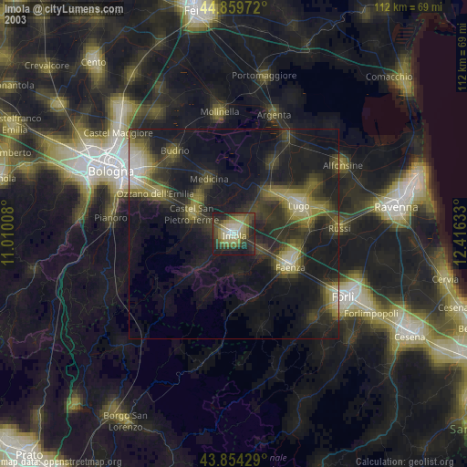
» NASA city lights 2003
» Earth at Night: Flat Maps 2012, 2016