Gagliano del Capo night lights from space
Night Light of Gagliano del Capo (Apulia) from space (Italy) Src. Average luminocity for 10x10km area is 26.0442% and for 50x50km: 11.9926%.
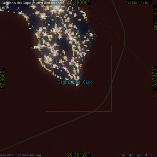
Analysis of Gagliano del Capo night lights 2016
Square area 10x10 km:
 0.51%
0.51%90-99
4.93%80-89
4.08%70-79
4.42%60-69
3.57%50-59
1.02%40-49
4.93%30-39
4.59%20-29
12.07%10-19
23.81%0-9
36.05%Square area 50x50 km:
0.99%90-99
2.39%80-89
1.61%70-79
1.29%60-69
1.72%50-59
0.88%40-49
1%30-39
2.68%20-29
7.35%10-19
9.09%0-9
71%Clear (daylight) street map image can be seen on geolist.org.
Map coordinates:
40° 22' 51.5" North, 17° 39' 59.4" East
39° 50' 35.6" North, 18° 22' 10.6" East
39° 18' 4.5" North, 19° 4' 21.9" East
Some cities around Gagliano del Capo sort by population:
• Tricase
9.8 km =6.1 mi,  352°
352°
• Taurisano
18.3 km =11.4 mi,  313°
313°
• Ruffano
18.5 km =11.5 mi,  326°
326°
• Ugento
20.3 km =12.6 mi,  297°
297°
• Poggiardo
23.4 km =14.5 mi,  1°
1°
• Corsano
5.1 km =3.2 mi,  357°
357°
• Presicce
11.1 km =6.9 mi, 304°
• Alessano
6.5 km =4 mi, 330°
2524685 (p: 5,042)
Sources (retrieved 2019-11-25):
» Earth at Night: Flat Maps 2012, 2016