Corsano night lights from space
Night Light of Corsano (Apulia) from space (Italy) Src. Average luminocity for 10x10km area is 35.5221% and for 50x50km: 14.6542%.
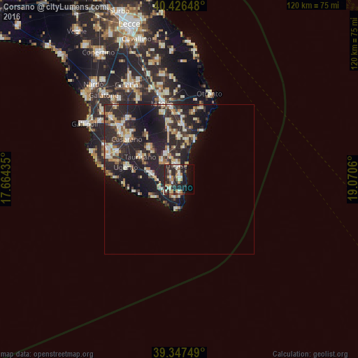
Analysis of Corsano night lights 2016
Square area 10x10 km:
 1.53%
1.53%90-99
8.67%80-89
4.25%70-79
5.61%60-69
4.76%50-59
2.55%40-49
4.25%30-39
7.14%20-29
23.47%10-19
17.86%0-9
19.9%Square area 50x50 km:
1.2%90-99
2.81%80-89
2.02%70-79
1.56%60-69
1.99%50-59
1.15%40-49
1.24%30-39
3.42%20-29
9.16%10-19
11.08%0-9
64.35%Clear (daylight) street map image can be seen on geolist.org.
Map coordinates:
40° 25' 35.3" North, 17° 39' 51.7" East
39° 53' 20.8" North, 18° 22' 2.9" East
39° 20' 51" North, 19° 4' 14.2" East
Some cities around Corsano sort by population:
• Tricase
4.7 km =2.9 mi,  346°
346°
• Taurisano
15.1 km =9.4 mi,  300°
300°
• Ruffano
14.4 km =8.9 mi,  315°
315°
• Ugento
18.3 km =11.4 mi,  283°
283°
• Poggiardo
18.3 km =11.4 mi,  2°
2°
• Presicce
9 km =5.6 mi, 278°
• Alessano
3.1 km =1.9 mi, 279°
• Gagliano del Capo
5.1 km =3.2 mi,  177°
177°
2524918 (p: 5,526)
Sources (retrieved 2019-11-25):
» Earth at Night: Flat Maps 2012, 2016